长三角地形高程数据集(1940-2008年)
收藏国家地球系统科学数据中心2020-12-21 更新2024-03-04 收录
下载链接:
https://www.geodata.cn/data/datadetails.html?dataguid=113758699819217&docId=11773
下载链接
链接失效反馈官方服务:
资源简介:
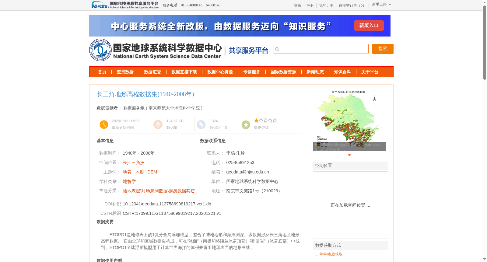
ETOPO1是地球表面的1弧分全局浮雕模型,整合了陆地地形和海洋测深。该数据涉及长三角地区地形高程数据。 它由全球和区域数据集构成,可在“冰面”(南极和格陵兰冰盖顶部)和“基岩”(冰盖底部)中找到。ETOPO1全球浮雕模型用于计算世界海洋的体积并得出地球表面的地形曲线。
ETOPO1 is a 1-arcminute global relief model of the Earth's surface that integrates terrestrial topography and ocean bathymetry. This dataset covers topographic elevation data of the Yangtze River Delta region. It is composed of global and regional datasets, and offers two variants: "ice surface" (the top of the Antarctic and Greenland ice sheets) and "bedrock" (the bottom of the ice sheets). The ETOPO1 global relief model is utilized to calculate the volume of the world's oceans and derive the topographic profile of the Earth's surface.
提供机构:
南京师范大学地理科学学院
创建时间:
2020-12-21
搜集汇总
数据集介绍
背景与挑战
背景概述
长三角地形高程数据集(1940-2008年)包含该地区陆地地形和海洋测深数据,基于ETOPO1全球浮雕模型加工而成,数据质量可靠,适用于地貌学等研究领域。
以上内容由遇见数据集搜集并总结生成


