栾川县2022年卫星遥感影像(0.7m)
收藏河南省数据产权登记服务平台2026-04-11 收录
下载链接:
https://www.darp.com.cn/portal/assetsCatalog/1791134307192737794?rightHolder=91410100MA44L31R8N&assetType=1
下载链接
链接失效反馈官方服务:
资源简介:
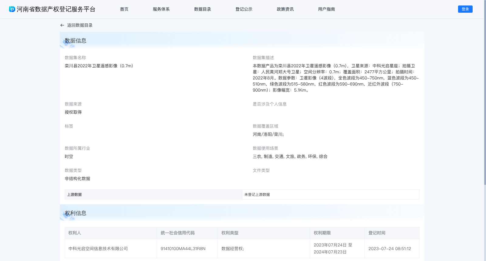
本数据产品为栾川县2022年卫星遥感影像(0.7m),卫星来源:中科光启星座;拍摄卫星:人民黄河郑大号卫星;空间分辨率:0.7m;覆盖面积:2477平方公里;拍摄时间:2022年8月。数据参数:卫星影像(4波段),全色波段为450-750nm,蓝色波段为450-510nm,绿色波段为515-580nm,红色波段为590-690nm,近红外波段(750-900nm);影像幅宽:5.1Km。
This data product is a 0.7m spatial resolution satellite remote sensing imagery dataset of Luanchuan County acquired in August 2022. The satellite constellation source is Zhongke Guangqi Constellation, and the imaging satellite is the People's Yellow River Zhenghao Satellite. It covers a total area of 2477 square kilometers. Data specifications: This 4-band satellite imagery has the following spectral band ranges: panchromatic band: 450–750 nm; blue band: 450–510 nm; green band: 515–580 nm; red band: 590–690 nm; near-infrared band: 750–900 nm. The image swath width is 5.1 km.
提供机构:
中科光启空间信息技术有限公司
搜集汇总
数据集介绍
背景与挑战
背景概述
该数据集为栾川县2022年8月拍摄的高分辨率卫星遥感影像,空间分辨率达0.7米,覆盖面积2477平方公里,由中科光启星座的人民黄河郑大号卫星采集,包含4波段影像(全色、蓝、绿、红和近红外波段),影像幅宽5.1公里。数据适用于三农、制造、交通、文旅、政务、环保等多个场景,为非结构化数据,权利人为中科光启空间信息技术有限公司,拥有数据经营权,有效期为2023年7月至2024年7月。
以上内容由遇见数据集搜集并总结生成


