大兴安岭地区30m水体增加空间数据集(1990-2000年)
收藏Mendeley Data2024-01-31 更新2024-06-29 收录
下载链接:
https://www.scidb.cn/en/detail?dataSetId=DS_9e55903ee3854f6b9989ef6620cc9481
下载链接
链接失效反馈官方服务:
资源简介:
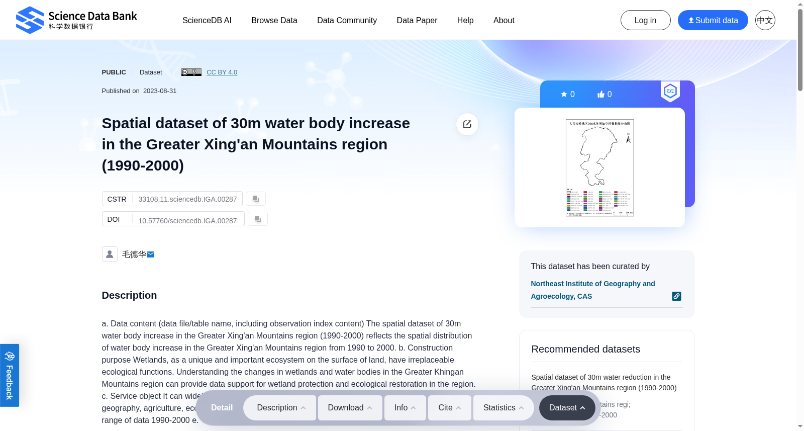
a. Data content (data file/table name, including observation index content) The spatial dataset of 30m water body increase in the Greater Xing'an Mountains region (1990-2000) reflects the spatial distribution of water body increase in the Greater Xing'an Mountains region from 1990 to 2000. b. Construction purpose Wetlands, as a unique and important ecosystem on the surface of land, have irreplaceable ecological functions. Understanding the changes in wetlands and water bodies in the Greater Khingan Mountains region can provide data support for wetland protection and ecological restoration in the region. c. Service object It can widely serve scientific researchers and students in fields such as natural geography, agriculture, ecology, and related disciplines such as hydrology and wetland ecology. d. Time range of data 1990-2000 e. The spatial range of data Greater Khingan Mountains region
a. 数据内容(含数据文件/表格名称、观测指标内容):本数据集为大兴安岭地区(Greater Khingan Mountains)1990-2000年30米分辨率水体扩张空间数据集,反映了1990至2000年间该区域水体扩张的空间分布特征。
b. 构建目的:湿地作为陆地地表独特且重要的生态系统,具有不可替代的生态功能。明晰大兴安岭地区湿地与水体的变化情况,可为该区域的湿地保护及生态修复工作提供数据支撑。
c. 服务对象:本数据集可广泛服务于自然地理学、农学、生态学等学科以及水文湿地生态学等相关领域的科研人员与学生。
d. 数据时间范围:1990-2000年
e. 数据空间范围:大兴安岭地区
创建时间:
2024-01-31
搜集汇总
数据集介绍
背景与挑战
背景概述
该数据集是一个空间数据集,反映1990年至2000年间大兴安岭地区水体增加的空间分布,空间分辨率为30米。数据集旨在为湿地保护和生态恢复提供数据支持,服务于自然地理、农业、生态、水文和湿地生态学等领域的研究。
以上内容由遇见数据集搜集并总结生成


