Sat2GroundScape
收藏资源简介:
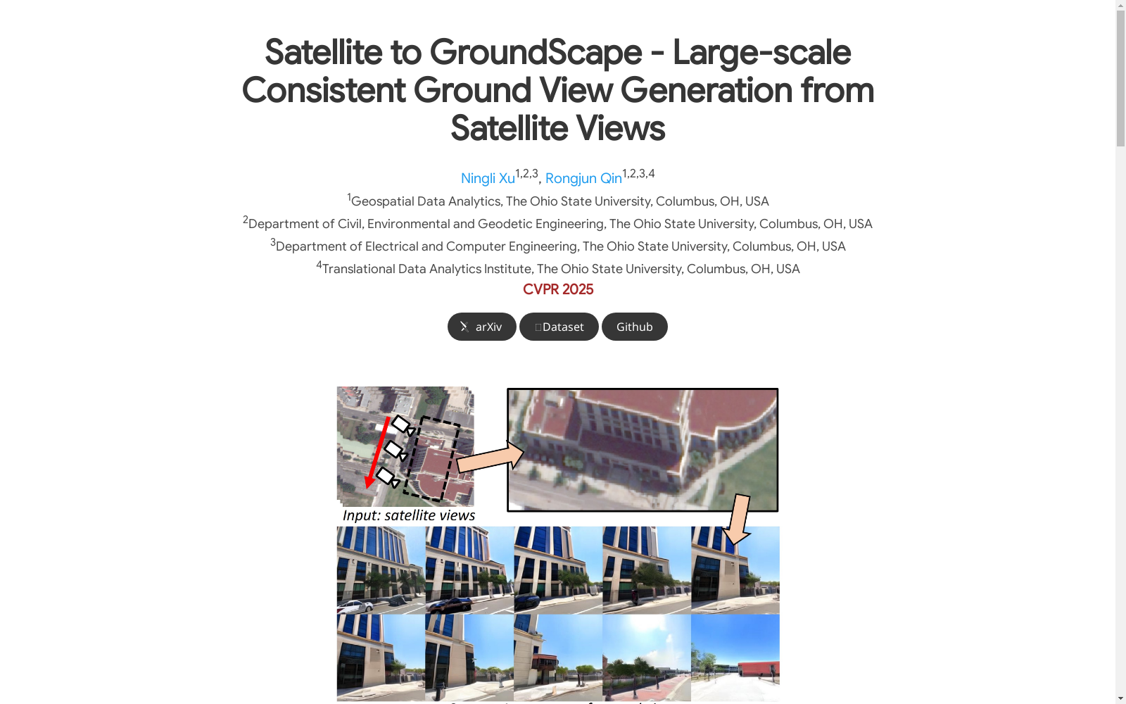
Sat2GroundScape是一个大规模的卫星-地面图像对数据集,由俄亥俄州立大学创建,旨在为地面场景或视频生成提供支持。该数据集包含超过100,000个透视卫星-地面图像对和25,000个全景对,数据来源于卫星图像和相应的地面视角,为生成逼真的地面场景提供了丰富的视觉信息。数据集的构建过程涉及场景几何估计和卫星数据的投影,通过指导 latent denoising 模型,生成与卫星图像布局一致的高保真度地面视图。该数据集的应用领域包括但不限于3D游戏和大规模城市建模,有助于从地面视角更直观地可视化环境。
Sat2GroundScape is a large-scale satellite-to-ground image pair dataset developed by The Ohio State University, intended to support ground scene and video generation. This dataset comprises over 100,000 perspective satellite-ground image pairs and 25,000 panoramic pairs, sourced from satellite imagery and their matching ground-level viewpoints, providing rich visual data for generating photorealistic ground scenes. The construction of this dataset entails scene geometry estimation and satellite data projection, and it is employed to guide latent denoising models in producing high-fidelity ground views that align with the layout of the corresponding satellite imagery. Application scenarios of this dataset include but are not limited to 3D game development and large-scale urban modeling, facilitating more intuitive environmental visualization from a ground-level perspective.