
Everglades Depth Estimation Network (EDEN) Water Surfaces Data
收藏DataONE2016-10-29 更新2024-06-26 收录
下载链接:
https://search.dataone.org/view/de62fe92-d170-40b6-afd4-4afa535b659f
下载链接
链接失效反馈官方服务:
资源简介:
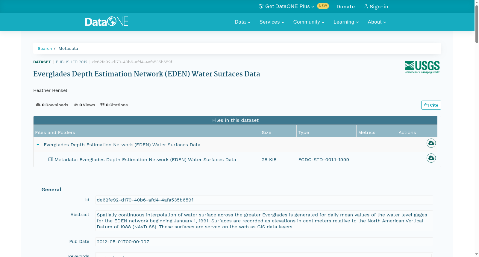
Spatially continuous interpolation of water surface across the greater Everglades is generated for daily mean values of the water level gages for the EDEN network beginning January 1, 1991. Surfaces are recorded as elevations in centimeters relative to the North American Vertical Datum of 1988 (NAVD 88). These surfaces are served on the web as GIS data layers.
本数据集基于1991年1月1日起EDEN监测网络内水位计的日平均水位数据,生成了大沼泽地全域的水面空间连续插值结果。所生成的水面曲面以相对于1988年北美垂直基准面(NAVD 88)的厘米级高程值进行记录。此类水面曲面数据将以地理信息系统(GIS)数据图层的形式在Web端提供服务。
创建时间:
2016-10-29
搜集汇总
数据集介绍
以上内容由遇见数据集搜集并总结生成


