宜阳县2022年卫星遥感影像(0.7m)
收藏河南省数据产权登记服务平台2026-04-11 收录
下载链接:
https://www.darp.com.cn/portal/assetsCatalog/1791134139156336641?rightHolder=91410100MA44L31R8N&assetType=1
下载链接
链接失效反馈官方服务:
资源简介:
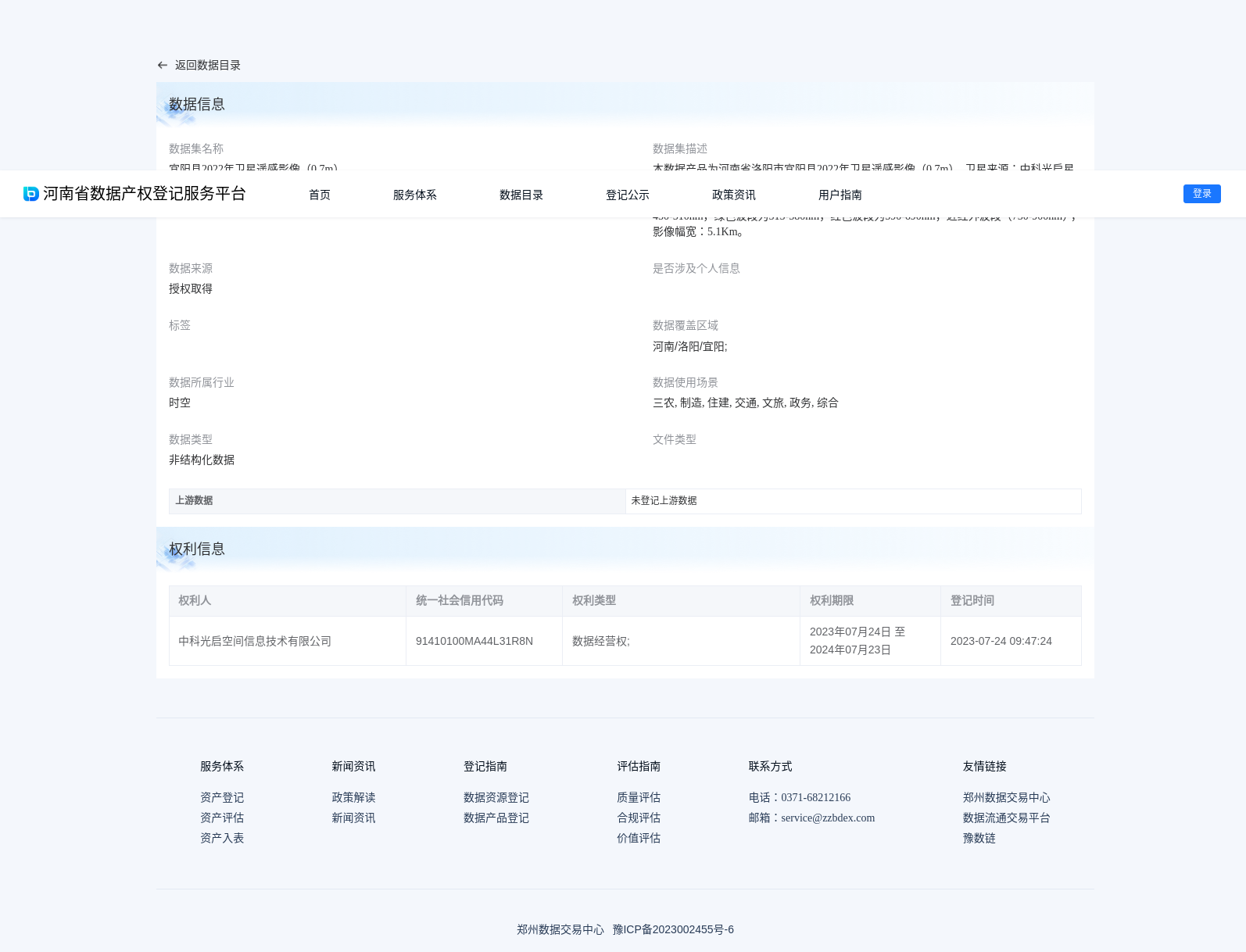
本数据产品为河南省洛阳市宜阳县2022年卫星遥感影像(0.7m),卫星来源:中科光启星座;拍摄卫星:人民黄河郑大号卫星;空间分辨率:0.7m;覆盖面积:1616平方公里;拍摄时间:2022年8月。数据参数:卫星影像(4波段),全色波段为450-750nm,蓝色波段为450-510nm,绿色波段为515-580nm,红色波段为590-690nm,近红外波段(750-900nm);影像幅宽:5.1Km。
This data product is a 0.7-meter spatial resolution satellite remote sensing imagery dataset of Yiyang County, Luoyang City, Henan Province, China, acquired in August 2022. The imagery was captured by the People's Yellow River Zhenghao Satellite from the Zhongke Guangqi Constellation. The dataset covers a total area of 1616 square kilometers, with an image swath width of 5.1 kilometers. The spectral specifications of the 4-band satellite imagery are as follows: panchromatic band (450–750 nm), blue band (450–510 nm), green band (515–580 nm), red band (590–690 nm), and near-infrared band (750–900 nm).
提供机构:
中科光启空间信息技术有限公司
搜集汇总
数据集介绍
背景与挑战
背景概述
该数据集提供2022年8月拍摄的河南省宜阳县0.7米分辨率卫星影像,覆盖1616平方公里,包含4波段光谱数据,由人民黄河郑大号卫星采集。
以上内容由遇见数据集搜集并总结生成


