青藏高原300米分辨率土壤侵蚀强度数据集(1992、2005、2015)
收藏国家青藏高原科学数据中心2021-11-02 更新2024-03-06 收录
下载链接:
https://data.tpdc.ac.cn/zh-hans/data/44c344e9-5c14-4afb-8bd1-6bdceffff2ca
下载链接
链接失效反馈官方服务:
资源简介:
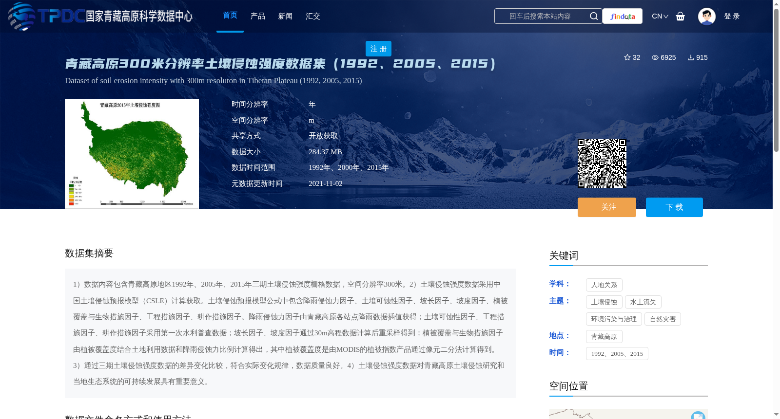
1)数据内容包含青藏高原地区1992年、2005年、2015年三期土壤侵蚀强度栅格数据,空间分辨率300米。2)土壤侵蚀强度数据采用中国土壤侵蚀预报模型(CSLE)计算获取。土壤侵蚀预报模型公式中包含降雨侵蚀力因子、土壤可蚀性因子、坡长因子、坡度因子、植被覆盖与生物措施因子、工程措施因子、耕作措施因子。降雨侵蚀力因子由青藏高原各站点降雨数据插值获得;土壤可蚀性因子、工程措施因子、耕作措施因子采用第一次水利普查数据;坡长因子、坡度因子通过30m高程数据计算后重采样得到;植被覆盖与生物措施因子由植被覆盖度结合土地利用数据和降雨侵蚀力比例计算得出,其中植被覆盖度是由MODIS的植被指数产品通过像元二分法计算得到。3)通过三期土壤侵蚀强度数据的差异变化比较,符合实际变化规律,数据质量良好。4)土壤侵蚀强度数据对青藏高原土壤侵蚀研究和当地生态系统的可持续发展具有重要意义。
1) This dataset encompasses three periods of raster data of soil erosion intensity in the Qinghai-Tibet Plateau for the years 1992, 2005 and 2015, with a spatial resolution of 300 meters.
2) The soil erosion intensity data was calculated using the Chinese Soil Loss Equation (CSLE). The CSLE includes seven core factors: rainfall erosivity factor, soil erodibility factor, slope length factor, slope steepness factor, vegetation cover and biological measure factor, engineering measure factor, and tillage measure factor. Specifically, the rainfall erosivity factor was derived by interpolating rainfall observations from meteorological stations across the Qinghai-Tibet Plateau; the soil erodibility factor, engineering measure factor and tillage measure factor were sourced from the data of the First National Water Conservancy Census; the slope length factor and slope steepness factor were computed using 30m resolution elevation data and then resampled; the vegetation cover and biological measure factor was calculated based on vegetation coverage combined with land use data and rainfall erosivity ratio, where vegetation coverage was obtained from MODIS vegetation index products via the dimidiate pixel model.
3) Comparison of the variation differences among the three-period soil erosion intensity data reveals that the changes align with actual ecological patterns, demonstrating good data quality.
4) The soil erosion intensity dataset holds significant value for research on soil erosion in the Qinghai-Tibet Plateau and the sustainable development of the local ecosystem.
提供机构:
章文波
创建时间:
2019-07-29
搜集汇总
数据集介绍
背景与挑战
背景概述
该数据集包含青藏高原地区1992年、2005年和2015年三期300米分辨率的土壤侵蚀强度栅格数据,采用中国土壤侵蚀预报模型(CSLE)计算获取,结合了多种环境因子,数据质量良好,对研究青藏高原土壤侵蚀及生态系统可持续发展具有重要意义。
以上内容由遇见数据集搜集并总结生成


