青藏高原三江源区滑坡灾害分布数据
收藏国家青藏高原科学数据中心2022-12-19 更新2024-03-06 收录
下载链接:
https://data.tpdc.ac.cn/zh-hans/data/1fa4ff5c-8ff5-4f4f-a207-423f8733c420
下载链接
链接失效反馈官方服务:
资源简介:
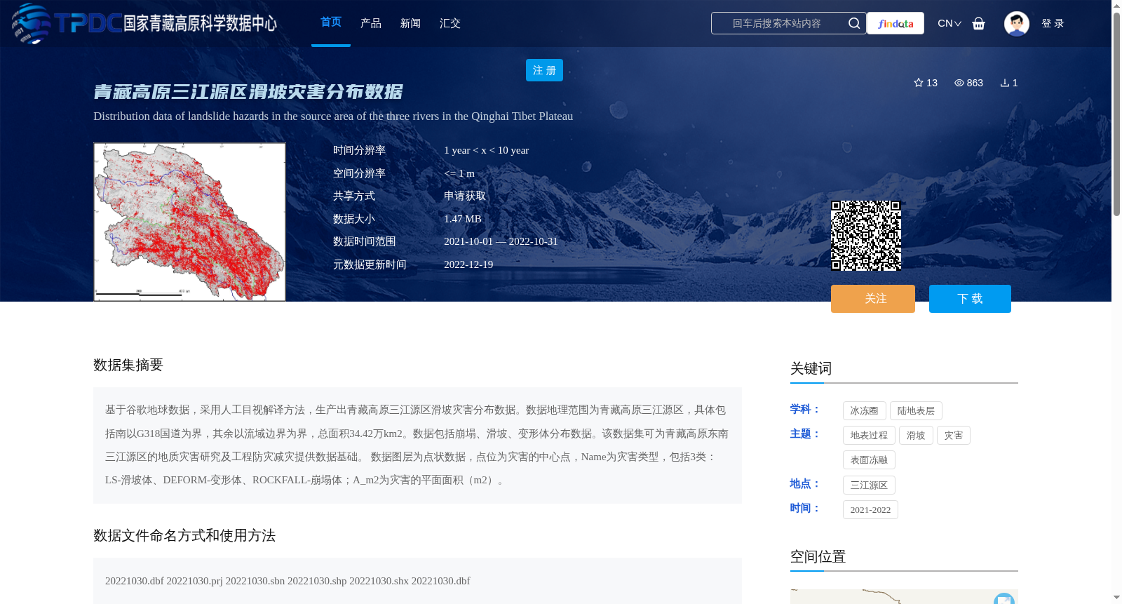
基于谷歌地球数据,采用人工目视解译方法,生产出青藏高原三江源区滑坡灾害分布数据。数据地理范围为青藏高原三江源区,具体包括南以G318国道为界,其余以流域边界为界,总面积34.42万km2。数据包括崩塌、滑坡、变形体分布数据。该数据集可为青藏高原东南三江源区的地质灾害研究及工程防灾减灾提供数据基础。
数据图层为点状数据,点位为灾害的中心点,Name为灾害类型,包括3类:LS-滑坡体、DEFORM-变形体、ROCKFALL-崩塌体;A_m2为灾害的平面面积(m2)。
Based on Google Earth data, a landslide hazard distribution dataset for the Three-River Source Region on the Qinghai-Tibet Plateau was generated through manual visual interpretation.
The geographical scope covers the Three-River Source Region on the Qinghai-Tibet Plateau, which is bounded by the G318 National Highway to the south and by watershed boundaries on all other sides, with a total area of 344,200 km². This dataset includes distribution data of collapses, landslides and deformation bodies, and can provide a fundamental data basis for geological hazard research and engineering disaster prevention and mitigation in the southeastern Three-River Source Region of the Qinghai-Tibet Plateau.
The data layer is point-based, where each point represents the center of a hazard. The "Name" field indicates the hazard type, which has three categories: LS (landslide body), DEFORM (deformation body), and ROCKFALL (collapse body); the "A_m2" field stands for the planar area of the hazard, with the unit of square meters.
提供机构:
张志红
创建时间:
2022-12-09
搜集汇总
数据集介绍
背景与挑战
背景概述
该数据集为青藏高原三江源区滑坡灾害分布数据,基于谷歌地球数据通过人工目视解译方法生成,包括滑坡、崩塌和变形体的分布信息,覆盖面积34.42万km²,数据格式为点状数据,可用于地质灾害研究和防灾减灾工作。
以上内容由遇见数据集搜集并总结生成


