65国1km分辨率土壤侵蚀强度数据集(2021)
收藏国家青藏高原科学数据中心2024-01-30 更新2024-03-06 收录
下载链接:
https://data.tpdc.ac.cn/zh-hans/data/f4593a2d-cd26-45f4-b699-73712eb2d1f3
下载链接
链接失效反馈官方服务:
资源简介:
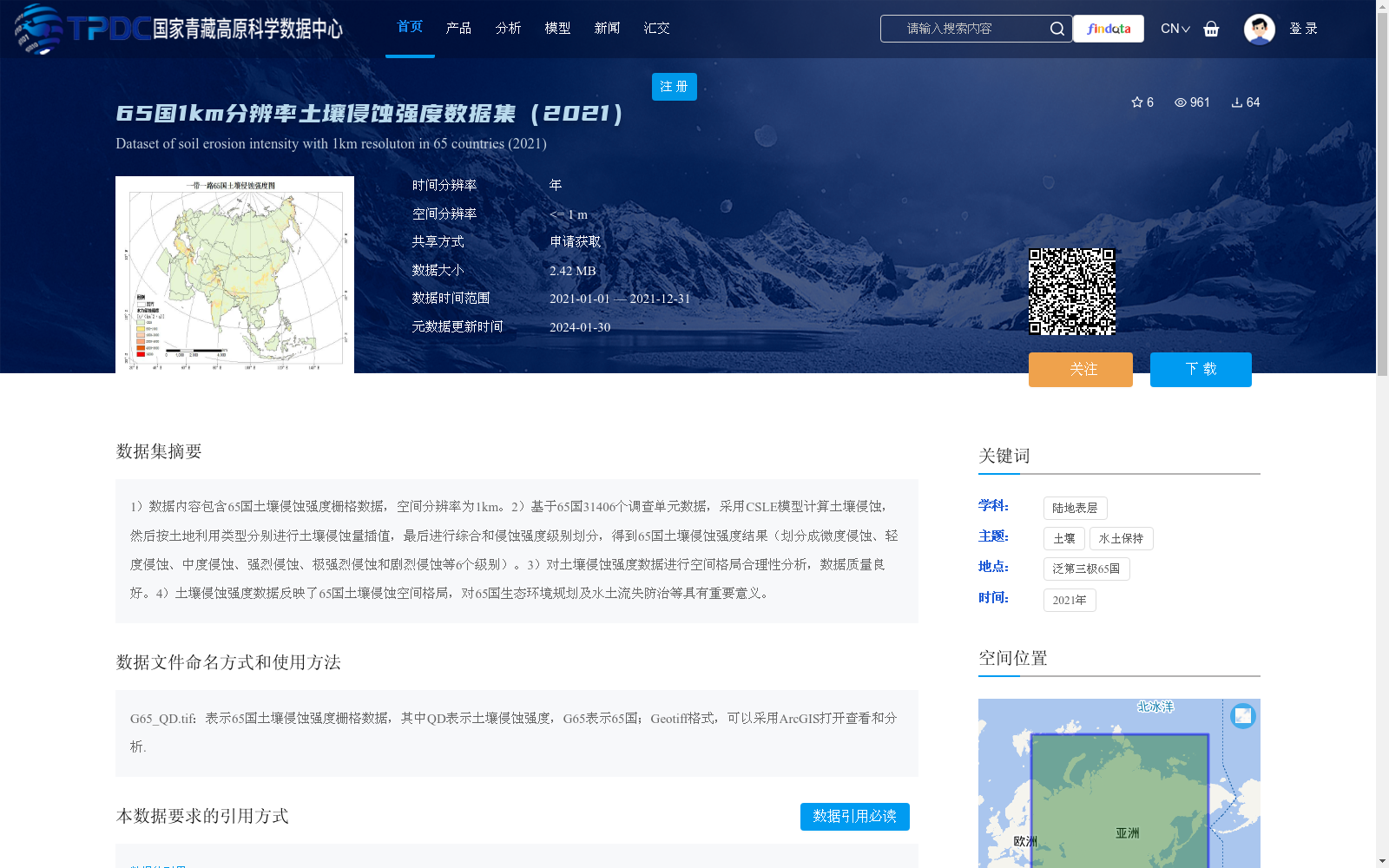
1)数据内容包含65国土壤侵蚀强度栅格数据,空间分辨率为1km。2)基于65国31406个调查单元数据,采用CSLE模型计算土壤侵蚀,然后按土地利用类型分别进行土壤侵蚀量插值,最后进行综合和侵蚀强度级别划分,得到65国土壤侵蚀强度结果(划分成微度侵蚀、轻度侵蚀、中度侵蚀、强烈侵蚀、极强烈侵蚀和剧烈侵蚀等6个级别)。3)对土壤侵蚀强度数据进行空间格局合理性分析,数据质量良好。4)土壤侵蚀强度数据反映了65国土壤侵蚀空间格局,对65国生态环境规划及水土流失防治等具有重要意义。
1. The dataset includes raster data of soil erosion intensity for 65 countries, with a spatial resolution of 1 km.
2. Based on 31,406 survey units from these 65 countries, soil erosion was calculated using the CSLE (Chinese Soil Loss Equation) model. Subsequently, spatial interpolation of soil erosion amounts was conducted separately for each land use type, followed by comprehensive processing and classification of erosion intensity levels. Finally, the soil erosion intensity results for the 65 countries were generated, which are divided into six categories: slight erosion, light erosion, moderate erosion, intense erosion, very intense erosion, and severe erosion.
3. Rationality analysis of the spatial pattern was performed on the soil erosion intensity raster data, verifying the good quality of the dataset.
4. The soil erosion intensity raster data reflects the spatial pattern of soil erosion across the 65 countries, and is of great significance for eco-environmental planning and soil and water loss control in these countries.
提供机构:
章文波
创建时间:
2022-05-27
搜集汇总
数据集介绍
背景与挑战
背景概述
该数据集提供了2021年65个国家1公里空间分辨率的土壤侵蚀强度栅格数据,基于CSLE模型计算并划分为6个侵蚀级别(从微度到剧烈),数据质量良好,适用于生态环境规划和水土流失防治研究。
以上内容由遇见数据集搜集并总结生成


