青海河湟谷地典型村落无人机航拍数据集(2022)
收藏国家青藏高原科学数据中心2024-06-21 更新2024-07-14 收录
下载链接:
https://data.tpdc.ac.cn/zh-hans/data/0ac5ac75-2c5a-4b1f-a32f-58e7eac72316
下载链接
链接失效反馈官方服务:
资源简介:
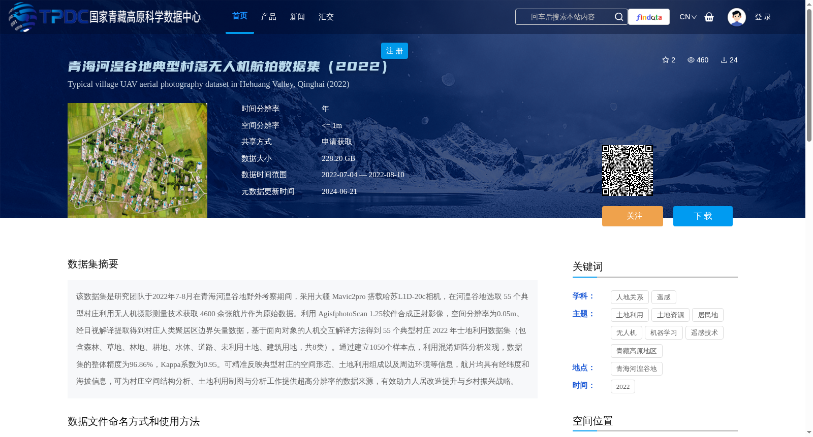
该数据集是研究团队于2022年7-8月在青海河湟谷地野外考察期间,采用大疆 Mavic2pro 搭载哈苏L1D-20c相机,在河湟谷地选取 55 个典型村庄利用无人机摄影测量技术获取 4600 余张航片作为原始数据。利用 AgisfphotoScan 1.25软件合成正射影像,空间分辨率为0.05m。经目视解译提取得到村庄人类聚居区边界矢量数据,基于面向对象的人机交互解译方法得到 55 个典型村庄 2022 年士地利用数据集(包含森林、草地、林地、耕地、水体、道路、未利用土地、建筑用地,共8类)。通过建立1050个样本点,利用混淆矩阵分析发现,数据集的整体精度为96.86%,Kappa系数为0.95。可精准反映典型村庄的空间形态、土地利用组成以及周边环境等信息,航片均具有经纬度和海拔信息,可为村庄空间结构分析、土地利用制图与分析工作提供超高分辨率的数据来源,有效助力人居改造提升与乡村振兴战略。
This dataset was collected by the research team during their field investigation in the Hehuang Valley of Qinghai Province from July to August 2022. Using a DJI Mavic 2 Pro equipped with a Hasselblad L1D-20c camera, over 4,600 aerial images were obtained as raw data via UAV photogrammetry technology from 55 typical villages selected in the Hehuang Valley. Orthomosaic images were generated using Agisoft PhotoScan 1.25 software with a spatial resolution of 0.05 meters. Vector data of the boundary of human settlements in villages was extracted through visual interpretation. Using an object-oriented human-machine interactive interpretation method, the 2022 land use dataset for 55 typical villages was obtained, which includes 8 categories: forest, grassland, woodland, cultivated land, water body, road, unused land, and built-up land. By establishing 1,050 sample points and conducting confusion matrix analysis, the overall accuracy of the dataset was found to be 96.86%, with a Kappa coefficient of 0.95. It can accurately reflect information such as the spatial form, land use composition, and surrounding environment of typical villages. All aerial images contain longitude, latitude, and altitude information, providing an ultra-high-resolution data source for village spatial structure analysis, land use mapping, and related analytical work, which effectively supports the improvement of human settlements and the rural revitalization strategy.
提供机构:
李小宇,信忠保
创建时间:
2024-06-20
搜集汇总
数据集介绍
背景与挑战
背景概述
该数据集包含2022年7-8月在青海河湟谷地55个典型村庄通过无人机摄影测量技术获取的4600余张航片,经处理后生成空间分辨率为0.05m的正射影像和土地利用分类数据,整体精度达96.86%,适用于村庄空间结构分析和土地利用制图。数据集还包含详细的元数据和引用信息,支持高精度的人居环境研究和乡村振兴战略。
以上内容由遇见数据集搜集并总结生成


