2000–2018年中国陆地生态系统生态质量指数
收藏国家生态科学数据中心2024-03-04 收录
下载链接:
http://www.nesdc.org.cn/sdo/detail?id=652264987e281774b9b5dbcb
下载链接
链接失效反馈官方服务:
资源简介:
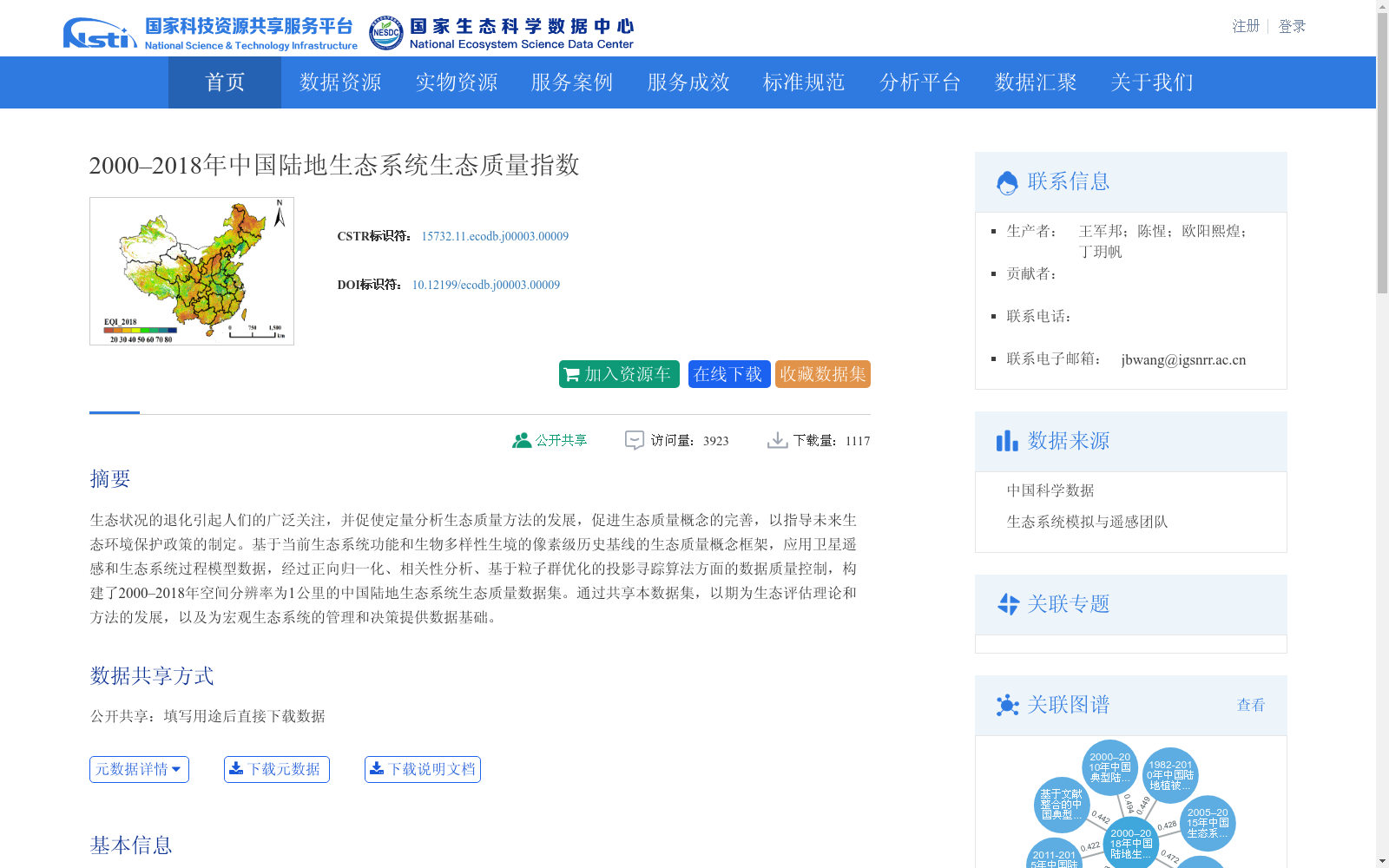
生态状况的退化引起人们的广泛关注,并促使定量分析生态质量方法的发展,促进生态质量概念的完善,以指导未来生态环境保护政策的制定。基于当前生态系统功能和生物多样性生境的像素级历史基线的生态质量概念框架,应用卫星遥感和生态系统过程模型数据,经过正向归一化、相关性分析、基于粒子群优化的投影寻踪算法方面的数据质量控制,构建了2000–2018年空间分辨率为1公里的中国陆地生态系统生态质量数据集。通过共享本数据集,以期为生态评估理论和方法的发展,以及为宏观生态系统的管理和决策提供数据基础。
Degradation of ecological conditions has aroused widespread concern, which has promoted the development of methods for quantitatively analyzing ecological quality and facilitated the refinement of the concept of ecological quality, so as to guide the formulation of future ecological and environmental protection policies. Based on the conceptual framework of ecological quality established on pixel-level historical baselines of ecosystem functioning and biodiversity habitats, this dataset was constructed using satellite remote sensing and ecosystem process model data, with data quality control procedures including positive normalization, correlation analysis, and particle swarm optimization-based projection pursuit algorithm, resulting in a terrestrial ecological quality dataset of China with a spatial resolution of 1 km for the period 2000–2018. By sharing this dataset, we aim to provide a data foundation for the development of ecological assessment theories and methods, as well as for macro-scale ecosystem management and decision-making.
创建时间:
2023-05-25
搜集汇总
数据集介绍
背景与挑战
背景概述
该数据集提供了2000年至2018年中国陆地生态系统的生态质量指数,空间分辨率为1公里,覆盖全国范围。它基于卫星遥感和生态系统过程模型数据构建,经过严格的数据质量控制,旨在为生态质量评估、理论方法发展以及宏观生态系统管理决策提供科学数据基础。
以上内容由遇见数据集搜集并总结生成


