1980-2018年30米分辨率中国农田水土流失时空演变地图数据集
收藏国家生态科学数据中心2025-09-06 收录
下载链接:
http://www.nesdc.org.cn/sdo/detail?id=68ba520e7e28174acd85ebe2
下载链接
链接失效反馈官方服务:
资源简介:
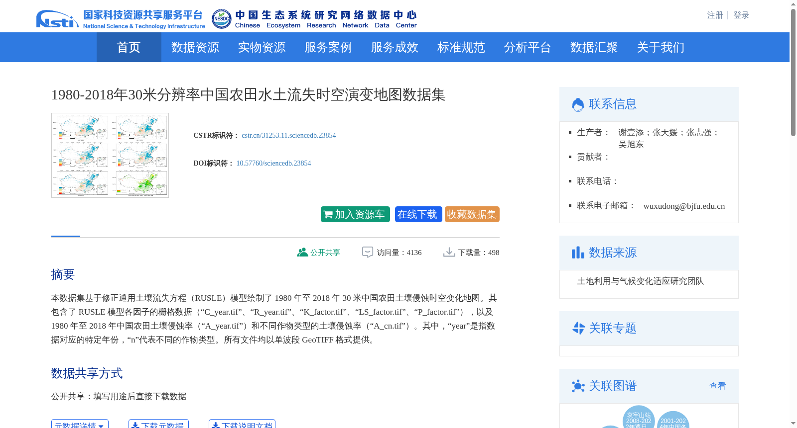
本数据集基于修正通用土壤流失方程(RUSLE)模型绘制了 1980 年至 2018 年 30 米中国农田土壤侵蚀时空变化地图。其包含了 RUSLE 模型各因子的栅格数据(“C_year.tif”、“R_year.tif”、“K_factor.tif”、“LS_factor.tif”、“P_factor.tif”),以及 1980 年至 2018 年中国农田土壤侵蚀率(“A_year.tif”)和不同作物类型的土壤侵蚀率(“A_cn.tif”)。其中,“year”是指数据对应的特定年份,“n”代表不同的作物类型。所有文件均以单波段 GeoTIFF 格式提供。
This dataset generates spatiotemporal change maps of soil erosion in Chinese croplands at a 30-meter resolution from 1980 to 2018 based on the Revised Universal Soil Loss Equation (RUSLE) model. It includes raster data for various factors of the RUSLE model ("C_year.tif", "R_year.tif", "K_factor.tif", "LS_factor.tif", "P_factor.tif"), as well as soil erosion rates of Chinese croplands from 1980 to 2018 ("A_year.tif") and soil erosion rates for different crop types ("A_cn.tif"). Here, "year" refers to the specific year corresponding to the data, and "n" represents different crop types. All files are provided in single-band GeoTIFF format.
创建时间:
2025-04-30
搜集汇总
数据集介绍
背景与挑战
背景概述
该数据集包含1980-2018年中国农田30米分辨率的土壤侵蚀时空演变地图,基于RUSLE模型生成,涵盖多种因子和作物类型数据,适用于地理和环境科学研究。
以上内容由遇见数据集搜集并总结生成


