2015–2022年漓江流域12天时间分辨率地表水体面积数据集
收藏地球大数据科学工程2025-09-29 更新2025-12-20 收录
下载链接:
https://data.casearth.cn/dataset/68d8e3bc9418b437b225a9e0
下载链接
链接失效反馈官方服务:
资源简介:
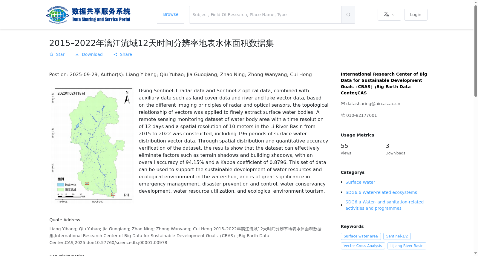
选用Sentinel-1雷达数据和Sentinel-2光学数据,结合土地覆盖数据、河湖矢量数据等辅助数据,基于雷达和光学传感器成像原理的不同,应用矢量的拓扑关系对地表水体做精细化提取,构建了2015-2022年漓江流域时间分辨率为12天、空间分辨率为10米的水体面积遥感监测数据集,共包括196期地表水体分布矢量数据。通过对数据集的空间分布和定量精度验证,结果表明:该数据集可有效的剔除地形阴影和建筑阴影等影响因素,总体精度达到94.15%,Kappa系数为0.8796。该套数据可用于支撑流域水资源及生态环境可持续发展,在应急管理、灾害防治、水利开发、水资源利用和生态环境旅游等领域具有重要意义。
Using Sentinel-1 radar data and Sentinel-2 optical data, combined with auxiliary data such as land cover data and river and lake vector data, based on the differences in imaging principles between radar and optical sensors, applying vector topological relationships for refined extraction of surface water bodies, we constructed a remote sensing monitoring dataset of water body area for the Li River Basin from 2015 to 2022, with a temporal resolution of 12 days and spatial resolution of 10 meters, including a total of 196 periods of surface water distribution vector data. Through spatial distribution analysis and quantitative accuracy verification of the dataset, the results show that: this dataset can effectively eliminate interference factors such as topographic shadows and building shadows, with an overall accuracy of 94.15% and a Kappa coefficient of 0.8796. This dataset can be used to support the sustainable development of water resources and ecological environment in the basin, and has important significance in fields such as emergency management, disaster prevention and control, water conservancy development, water resource utilization, and eco-environmental tourism.
创建时间:
2025-09-28
搜集汇总
数据集介绍
背景与挑战
背景概述
该数据集是基于Sentinel-1和Sentinel-2遥感数据,结合辅助数据精细提取的漓江流域2015-2022年地表水体面积数据,具有12天时间分辨率和10米空间分辨率,包含196期矢量数据,总体精度达94.15%,能有效消除阴影干扰。数据集主要用于支持流域水资源和生态环境的可持续发展,并在应急管理、防灾减灾等领域有重要应用价值。
以上内容由遇见数据集搜集并总结生成


