长江中游城市群GPP数据集(1km)(1960-2100年)
收藏国家地球系统科学数据中心2019-05-14 更新2024-03-04 收录
下载链接:
https://www.geodata.cn/data/datadetails.html?dataguid=179678683167467&docId=17202
下载链接
链接失效反馈官方服务:
资源简介:
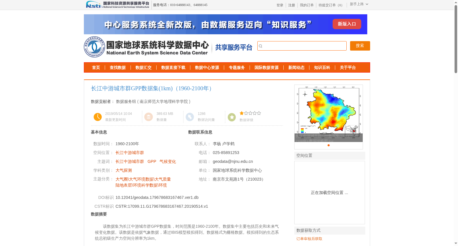
该数据集为长江中游城市群GPP数据集,时间范围是1960-2100年。数据集中主要包括历史和未来气候变化数据。该数据是依据气象数据,通过IBIS模型模拟得到。数据格式为栅格数据。模拟得到的生态系统总初级生产力空间分辨率为1km。
This is the Gross Primary Productivity (GPP) dataset for the Urban Agglomeration in the Middle Reaches of the Yangtze River, with a temporal range from 1960 to 2100. The dataset primarily includes historical and future climate change data, which is generated via simulations using the IBIS model based on meteorological data. The data is stored in raster format, and the spatial resolution of the simulated ecosystem gross primary productivity is 1 km.
提供机构:
南京师范大学地理科学学院
创建时间:
2019-05-14
搜集汇总
数据集介绍
背景与挑战
背景概述
该数据集为长江中游城市群GPP数据集,时间范围1960-2100年,通过IBIS模型模拟得到,空间分辨率1km,数据格式为栅格数据,质量可靠。
以上内容由遇见数据集搜集并总结生成


