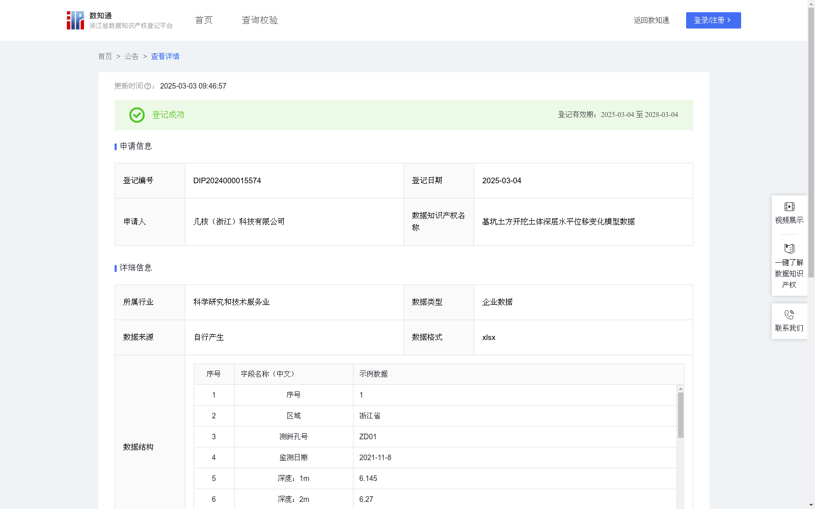
基坑土方开挖土体深层水平位移变化模型数据
收藏浙江省数据知识产权登记平台2025-03-03 更新2025-03-04 收录
下载链接:
https://www.zjip.org.cn/home/announce/trends/115135
下载链接
链接失效反馈官方服务:
资源简介:
随着城市地下空间的不断发展,基坑工程的施工越来越多,基坑规模越来越大。随着而产生的工程风险也在不断加剧。特别是在软土地区,由于地质条件的复杂性,施工的不确定性,仅仅依靠设计理论计算已无法满足其安全性的要求。因此基坑监测工作在整个基坑工程中发挥着至关重要的作用。在基坑监测过程中,通过在不同位置设置测斜孔,监测基坑周边土体深层水平位移的变化量,并以记录的原始数据为基础进行统计分析,得出在基坑开挖施工过程中,不同深度的土体变形趋势,为同类型基坑项目的设计和施工提供依据。为相关区域企业,政府政策提供数据支撑,对全行业多区域具有领导指引作用。1.数据采集来源:使用基坑测斜仪来测量每个测斜孔不同深度的水平位移变化量(部分数据以图像形式显示于后台系统,不输出具体数据值),数据结构5-20示例数据即为不同深度偏移情况;2.前期工作:收集场地地质资料,基坑开挖深度以及支护设计方案,布置基坑监测点的位置,确定测斜孔的深度以及埋设测斜管。3.数据处理:在基坑施工过程中,基于每日采集的原始数据,在修正异常(不合理)数据后,将所有数据汇总;将汇总后的数据利用统计学原理,分析不同深度范围土体的变形情况,该过程有企业自有大数据分析系统完成(∑函数结束IF条件组,AHP法综合分析)。4.数据复用:在基坑施工过程中,基坑围护结构上部变形对土体的变形影响最大,基坑周边土体呈现向坑内的水平变形;在基坑开挖深度以下,土体的变形呈现反向水平变形;在基坑围护结构桩端以下,土体变形值逐渐减小,部分工程可能会呈现向坑内的隆起变形。整体数据生成“基坑开挖-土体深层水平位移”影响模型,填充数据库,便于为工程的初步设计与工程安全性的预估提供依据。(示例数据为精确数据,实际记录时为了便于记录选择保留小数点后两位)
With the continuous development of urban underground space, the number of foundation pit construction projects and the scale of foundation pits are both growing, and the associated engineering risks are also increasing. Particularly in soft soil areas, due to the complexity of geological conditions and the uncertainty of construction, relying solely on design theoretical calculations can no longer meet safety requirements. Therefore, foundation pit monitoring plays a vital role in the entire foundation pit engineering project.
During foundation pit monitoring, inclinometer holes are set at different locations to monitor the variation of deep horizontal displacement of soil around the foundation pit. Statistical analysis is conducted based on the recorded raw data to obtain the soil deformation trends at different depths during foundation pit excavation and construction, which provides a basis for the design and construction of similar foundation pit projects, supports data for enterprises and government policies in relevant regions, and plays a leading and guiding role for the entire industry across multiple regions.
1. Data Collection Source: A foundation pit inclinometer is used to measure the horizontal displacement variation at different depths of each inclinometer hole (some data is displayed in the background system in the form of images without outputting specific numerical values). The sample data in Structure 5-20 shows the offset conditions at different depths.
2. Pre-construction Work: Collect site geological data, foundation pit excavation depth and support design scheme, arrange the locations of foundation pit monitoring points, and determine the depth of inclinometer holes and the burial of inclinometer pipes.
3. Data Processing: During foundation pit construction, based on the raw data collected daily, abnormal (unreasonable) data is corrected first, then all data is aggregated. The aggregated data is analyzed using statistical principles to study the soil deformation conditions in different depth ranges. This process is completed by the enterprise's self-developed big data analysis system (using the Σ function to finalize the IF conditional group and the AHP method for comprehensive analysis).
4. Data Reuse: During foundation pit construction, the upper deformation of the foundation pit retaining structure has the greatest impact on soil deformation. The soil around the foundation pit shows horizontal deformation towards the pit; below the foundation pit excavation depth, the soil deformation exhibits reverse horizontal deformation; below the pile tip of the foundation pit retaining structure, the soil deformation value gradually decreases, and some projects may show uplift deformation towards the pit. The overall data is used to establish the "Foundation Pit Excavation - Deep Horizontal Displacement of Soil" impact model, which is populated into the database to provide a basis for preliminary engineering design and engineering safety assessment. (The sample data is precise; during actual recording, two decimal places are retained for ease of recording.)
提供机构:
几核(浙江)科技有限公司
创建时间:
2024-11-14
搜集汇总
数据集介绍
特点
该数据集记录了基坑土方开挖过程中土体深层水平位移的变化,包含601条数据,数据格式为xlsx。通过基坑测斜仪采集不同深度的水平位移变化量,并利用统计分析得出土体变形趋势,为基坑工程设计和施工提供依据,特别是在软土地区,有助于评估工程风险和指导施工安全。
以上内容由遇见数据集搜集并总结生成


