青藏高原地区径流时空分布产品(1998-2017)
收藏国家青藏高原科学数据中心2022-08-22 更新2024-04-21 收录
下载链接:
https://data.tpdc.ac.cn/zh-hans/data/9296f867-6547-48a3-a705-2b71597aee6c
下载链接
链接失效反馈官方服务:
资源简介:
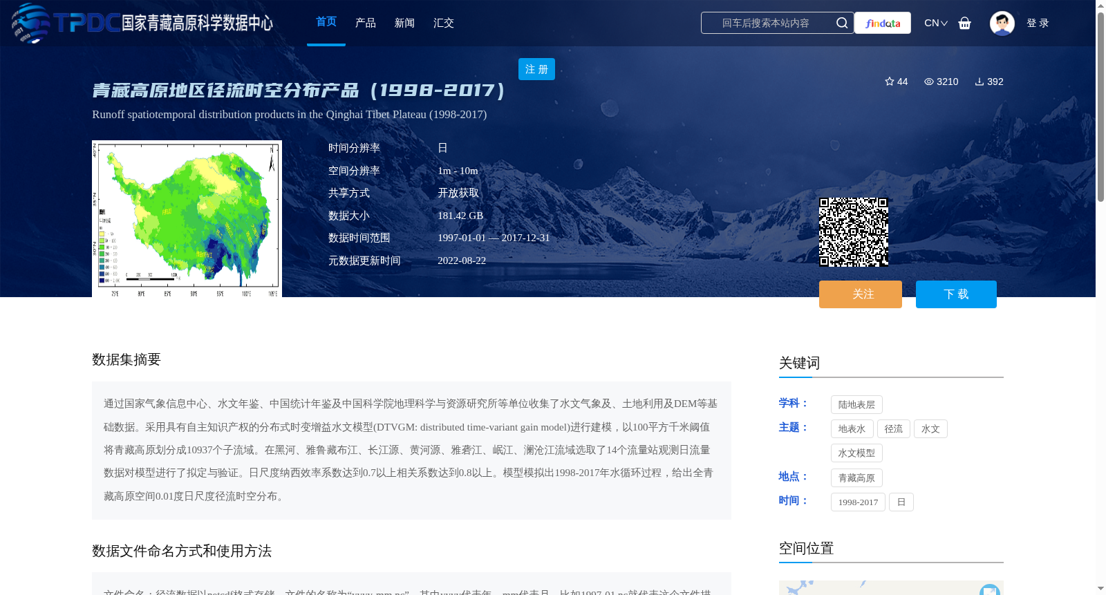
通过国家气象信息中心、水文年鉴、中国统计年鉴及中国科学院地理科学与资源研究所等单位收集了水文气象及、土地利用及DEM等基础数据。采用具有自主知识产权的分布式时变增益水文模型(DTVGM: distributed time-variant gain model)进行建模,以100平方千米阈值将青藏高原划分成10937个子流域。在黑河、雅鲁藏布江、长江源、黄河源、雅砻江、岷江、澜沧江流域选取了14个流量站观测日流量数据对模型进行了拟定与验证。日尺度纳西效率系数达到0.7以上相关系数达到0.8以上。模型模拟出1998-2017年水循环过程,给出全青藏高原空间0.01度日尺度径流时空分布。
Basic data including hydrometeorological data, land use data, and digital elevation model (DEM) data were collected from institutions such as the National Meteorological Information Center, Hydrological Yearbooks, China Statistical Yearbook, and the Institute of Geographic Sciences and Natural Resources Research, Chinese Academy of Sciences. Modeling was conducted using the distributed time-variant gain hydrological model (DTVGM) with independent intellectual property rights, and the Qinghai-Tibet Plateau was divided into 10,937 sub-basins with a threshold of 100 square kilometers. Fourteen daily streamflow gauging stations were selected from the Heihe River, Yarlung Zangbo River, source regions of the Yangtze River, source regions of the Yellow River, Yalong River, Minjiang River, and Lancang River basins for model calibration and validation. The daily-scale Nash-Sutcliffe efficiency coefficient (NSE) reached above 0.7, and the Pearson correlation coefficient exceeded 0.8. The model simulated the water cycle processes from 1998 to 2017, and provided the spatio-temporal distribution of daily-scale runoff with a spatial resolution of 0.01° across the entire Qinghai-Tibet Plateau.
提供机构:
叶爱中
创建时间:
2022-07-30
搜集汇总
数据集介绍
背景与挑战
背景概述
该数据集提供了1998-2017年青藏高原地区日尺度径流时空分布数据,空间分辨率为0.01度,采用分布式时变增益水文模型(DTVGM)建模,并通过14个流量站观测数据验证,纳西效率系数和相关系数表现良好。数据以netcdf格式存储,总大小为181.42 GB,开放获取。
以上内容由遇见数据集搜集并总结生成


