自然资源卫星遥感即时监测监管服务平台
收藏海南省数据产品超市2023-07-24 更新2024-03-01 收录
下载链接:
https://www.datadex.cn/app/buyApi?id=9b54ac92fe914e6c9432a1fec58b3d94
下载链接
链接失效反馈官方服务:
资源简介:
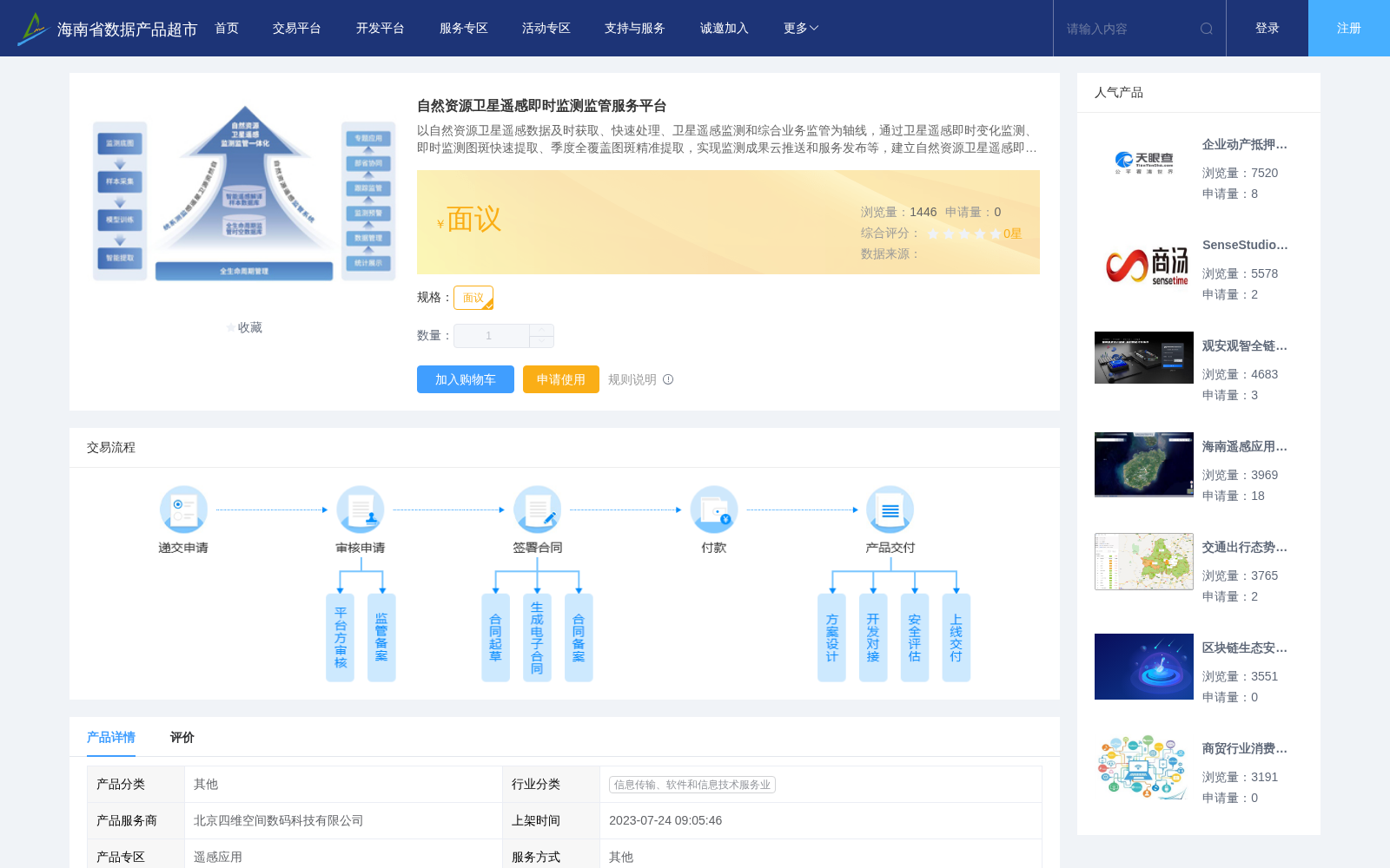
以自然资源卫星遥感数据及时获取、快速处理、卫星遥感监测和综合业务监管为轴线,通过卫星遥感即时变化监测、即时监测图斑快速提取、季度全覆盖图斑精准提取,实现监测成果云推送和服务发布等,建立自然资源卫星遥感即时监测监管服务平台,完善自然资源调查监测与监管技术体系和管理机制,真正落实“天上看、地上查、网上管”,及时掌握自然资源现状及变化,有效促进土地执法督察和自然资源集约节约利用,服务经济和社会发展。
Centered on the timely acquisition, rapid processing, satellite remote sensing monitoring and comprehensive business supervision of natural resource satellite remote sensing data, this service platform conducts real-time satellite remote sensing change monitoring, rapid extraction of real-time monitoring patches, and accurate extraction of quarterly full-coverage patches, and realizes cloud push of monitoring results and service release. By establishing the natural resource satellite remote sensing real-time monitoring and supervision service platform, and improving the technical system and management mechanism for natural resource investigation, monitoring and supervision, it effectively implements the principle of "monitoring from space, inspecting on the ground, and managing via the internet". The platform can timely grasp the current status and changes of natural resources, effectively promote land law enforcement supervision and the intensive and economical utilization of natural resources, and serve economic and social development.
提供机构:
北京四维空间数码科技有限公司
创建时间:
2023-07-24
搜集汇总
数据集介绍
背景与挑战
背景概述
该平台通过卫星遥感技术实现自然资源变化监测、图斑提取和成果推送,构建了'天上看、地上查、网上管'的监管体系,服务于土地执法和资源集约利用。可提供定制化应用、多类型统计分析和定期信息推送服务。
以上内容由遇见数据集搜集并总结生成


