中国2009~2015年1km空间分辨率的三大作物种植面积第二代产品(ChinaCropArea1kmV2)
收藏国家生态科学数据中心2024-03-04 收录
下载链接:
http://www.nesdc.org.cn/sdo/detail?id=652267ed7e281774b9b5dbce
下载链接
链接失效反馈官方服务:
资源简介:
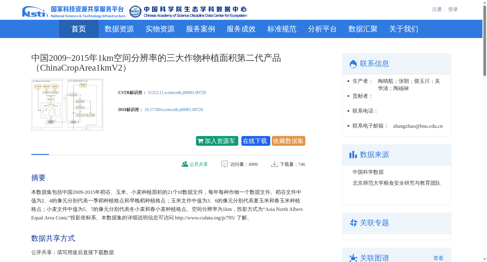
本数据集包括中国2009-2015年稻谷、玉米、小麦种植面积的21个tif数据文件,每年每种作物一个数据文件。稻谷文件中值为2、4的像元分别代表一季稻种植格点和早晚稻种植格点;玉米文件中值为3、6的像元分别代表夏玉米和春玉米种植格点;小麦文件中值为5、7的像元分别代表冬小麦和春小麦种植格点。空间分辨率为1km,投影方式为“Asia North Albers Equal Area Conic”投影坐标系。本数据集的详细说明信息可访问 http://www.csdata.org/p/795/ 了解。
This dataset comprises 21 TIF format data files documenting the planting areas of rice, maize, and wheat across China between 2009 and 2015, with one file per crop for each year. In the rice datasets, pixels with values of 2 and 4 represent single-season rice planting grid points and double-cropping rice (early and late rice) planting grid points, respectively. In the maize datasets, pixels with values of 3 and 6 represent summer maize and spring maize planting grid points, respectively. In the wheat datasets, pixels with values of 5 and 7 represent winter wheat and spring wheat planting grid points, respectively. The spatial resolution of the dataset is 1 km, and it adopts the "Asia North Albers Equal Area Conic" projection coordinate system. Detailed documentation for this dataset can be accessed at http://www.csdata.org/p/795/.
创建时间:
2022-10-25
搜集汇总
数据集介绍
背景与挑战
背景概述
该数据集提供了中国2009-2015年稻谷、玉米、小麦三大作物的种植面积数据,空间分辨率为1km,包含21个tif数据文件,每年每种作物一个数据文件。数据采用“Asia North Albers Equal Area Conic”投影坐标系,详细标注了不同作物的种植类型,如稻谷中的一季稻和早晚稻,玉米中的夏玉米和春玉米,小麦中的冬小麦和春小麦。
以上内容由遇见数据集搜集并总结生成


