青藏高原2013年冰川数据-TPG2013(V1.0)
收藏国家青藏高原科学数据中心2021-09-22 更新2024-03-01 收录
下载链接:
https://data.tpdc.ac.cn/zh-hans/data/38d741e0-ec7c-4aa5-8d10-d732a01b8063
下载链接
链接失效反馈官方服务:
资源简介:
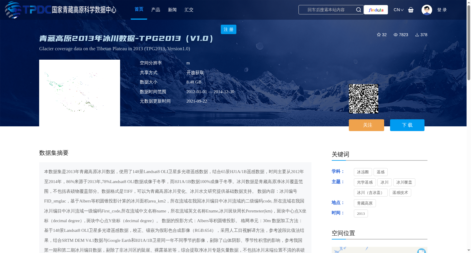
本数据集是2013年青藏高原冰川数据,使用了148景Landsat8 OLI卫星多光谱遥感数据,结合65景HJ1A/1B遥感数据,时间主要从2012年至2014年,86%来源于2013年,78%Landsat8 OLI数据成像于冬季,而HJ1A/1B数据100%成像于冬季。冰川数据是青藏高原净冰川覆盖范围,不包括表碛物覆盖部分。数据格式是TIFF,可以为青藏高原冰川变化、冰川水文研究提供基础数据支持。
数据内容:冰川编号FID_smglac,基于Albers等积圆锥投影计算的冰川面积area_km2,所在流域在我国冰川编目中冰川流域的二级编码code, 所在流域在我国冰川编目中冰川流域一级编码First_code,所在流域中文名称name,所在流域英文名称Ename,冰川斑块周长Peremeter(km),斑块中心点X坐标(decimal degree), 斑块中心点Y坐标(decimal degree)。
数据的投影方式:Albers等积圆锥投影。
格网单元:30m
数据加工方法:基于148景Landsat8 OLI卫星多光谱遥感数据,校正、镶嵌为假彩色合成影像(RGB:654),采用人工目视解译方法,参考波段比值法结果,结合SRTM DEM V4.1数据与Google Earth和HJ1A/1B卫星同一年不同季节的影像,剔除了山体阴影、季节性积雪的影响,参考我国第一期和第二期冰川编目数据,剔除了非冰川区的陡崖、裸露基岩等,综合提取净冰川专题矢量数据,不包括冰川末端位置不清的表碛物覆盖区域,冰川边界数字化精度为半个像元(15m)。通过对比分析,可知基于多数据源、参考多方法结果、综合专家经验知识人-机互动方法提取获得的山地冰川数据更准确。具体数据提取方法详见参考文献:
Ye, Q., J.Zong,L.Tian et al. (2017). Glacier changes on the Tibetan Plateau derived from Landsat imagery: mid-1970s – 2000 – 2013. Journal of Glaciology,63(238), 273-87. DOI:10.1017/jog.2016.137
原始遥感资料数据精度:30m。
数据质量控制措施:冰川边界数字化精度控制在半个像元之内(15m)。
加工后数据精度:TPG2013总体数据误差在3.9%。
项目来源:中国科学院战略性先导科技专项(A类)(XDA19070302), 第二次青藏高原综合科学考察研究资助(2019QZKK0202),中国科学院“十三五”信息化建设专项资助(XXH13505-06),国家自然科学基金项目(41530748, 91747201),科技基础性工作专项项目(2013FY111400)。
This dataset is glaciological data of the Tibetan Plateau in 2013. It utilizes 148 scenes of Landsat 8 OLI multispectral remote sensing data and 65 scenes of HJ-1A/1B remote sensing data, with the main acquisition period spanning from 2012 to 2014. Specifically, 86% of the data was collected in 2013, 78% of the Landsat 8 OLI data was acquired in winter, and all HJ-1A/1B data was captured in winter. The glaciological data represents the net glacial coverage over the Tibetan Plateau, excluding areas covered by supraglacial debris. The data is stored in TIFF format and provides fundamental support for research on glacial changes and glacial hydrology of the Tibetan Plateau.
Data Content: The dataset includes the following fields: glacial feature ID FID_smglac, glacial area area_km2 calculated based on the Albers equal-area conic projection, secondary glacial basin code code in China's glacier inventory, primary glacial basin code First_code in China's glacier inventory, Chinese basin name name, English basin name Ename, glacial patch perimeter Peremeter (km), X-coordinate of the patch centroid (decimal degree), and Y-coordinate of the patch centroid (decimal degree).
Projection: Albers equal-area conic projection.
Grid Resolution: 30 m.
Data Processing Methods: 148 scenes of Landsat 8 OLI multispectral remote sensing data were first corrected, then mosaicked into false-color composite images (RGB: 654). Manual visual interpretation was adopted, with reference to the results of band ratio methods, combined with SRTM DEM V4.1 data, Google Earth imagery, and HJ-1A/1B imagery of different seasons in the same year to eliminate the impacts of mountain shadows and seasonal snow cover. Referring to the first and second national glacier inventory data of China, non-glacial areas such as steep cliffs and exposed bedrock were excluded, and thematic vector data of net glaciers were comprehensively extracted, excluding supraglacial debris-covered areas with unclear glacier termini. The digitization accuracy of glacier boundaries reaches half a pixel (15 m). Comparative analysis shows that the mountain glacier data extracted via the multi-data-source, multi-method, and expert knowledge-integrated human-computer interaction approach has higher accuracy. For detailed data extraction methods, please refer to the following reference: Ye, Q., Zong, J., Tian, L. et al. (2017). Glacier changes on the Tibetan Plateau derived from Landsat imagery: mid-1970s – 2000 – 2013. *Journal of Glaciology*, 63(238), 273-287. DOI: 10.1017/jog.2016.137
Original Remote Sensing Data Resolution: 30 m.
Data Quality Control Measures: The digitization accuracy of glacier boundaries is controlled within half a pixel (15 m).
Post-processing Data Accuracy: The overall error of the TPG2013 dataset is 3.9%.
Funding Sources: This work was supported by the Strategic Priority Research Program of the Chinese Academy of Sciences (Class A) (XDA19070302), the Second Tibetan Plateau Scientific Expedition and Research Program (2019QZKK0202), the "13th Five-Year" Informatization Construction Special Project of the Chinese Academy of Sciences (XXH13505-06), the National Natural Science Foundation of China (41530748, 91747201), and the National Basic Science and Technology Work Special Project (2013FY111400).
提供机构:
叶庆华
创建时间:
2018-04-02
搜集汇总
数据集介绍
背景与挑战
背景概述
该数据集是2013年青藏高原冰川覆盖数据,基于Landsat8 OLI和HJ1A/1B遥感数据,采用人工目视解译和多方法综合提取,精度为30m,主要用于冰川变化和冰川水文研究。数据格式为TIFF,空间分辨率为30m,覆盖时间范围为2012年至2014年,其中86%数据来源于2013年。
以上内容由遇见数据集搜集并总结生成


