咸海、巴尔喀什湖、伊塞克湖面积-水位-储水量变化,湖滨生态系统及服务功能变化数据集和图集(2018-2022)
收藏国家青藏高原科学数据中心2023-03-06 更新2024-03-01 收录
下载链接:
https://data.tpdc.ac.cn/zh-hans/data/5fadf8e4-b80e-4d76-bf27-a3418e804ed4
下载链接
链接失效反馈官方服务:
资源简介:
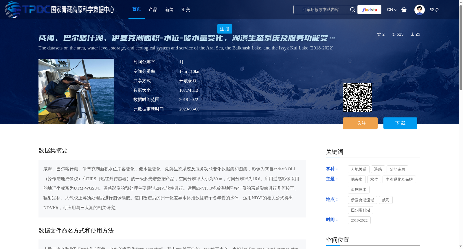
咸海、巴尔喀什湖、伊塞克湖面积水位库容变化,储水量变化,湖滨生态系统及服务功能变化数据集和图集,影像为来自andsat8 OLI(操作陆地成像仪)和TIRS(热红外传感器)的一级多光谱数据产品,空间分辨率大小为30 m,时间分辨率为16 d。所用遥感影像采用的地理坐标系为UTM-WGS84。遥感影像的预处理主要通过ENVI软件进行。运用ENVI5.3将咸海地区各年份的遥感影像进行几何校正、辐射定标、大气校正等预处理后进行图像镶嵌。使用改进后的归一化差异水体指数提取个各年份的水体,运用NDVI的相关公式得出NDVI值,可应用与三大湖的相关研究。
Dataset and atlas documenting changes in area, water level, reservoir capacity, water storage, riparian ecosystem and its service functions for the Aral Sea, Lake Balkhash and Lake Issyk-Kul. The remote sensing images are Level-1 multispectral data products from Landsat 8 Operational Land Imager (OLI) and Thermal Infrared Sensor (TIRS), with a spatial resolution of 30 m and a temporal resolution of 16 days. The adopted geographic coordinate system for these remote sensing images is UTM-WGS84. Preprocessing of the remote sensing images was primarily conducted using ENVI software. Specifically, ENVI 5.3 was used to perform geometric correction, radiometric calibration, atmospheric correction and other preprocessing operations on remote sensing images of the Aral Sea region for each year, followed by image mosaicking. The modified Normalized Difference Water Index (MNDWI) was utilized to extract water bodies for each year, and relevant formulas of the Normalized Difference Vegetation Index (NDVI) were applied to calculate NDVI values, which can be used for related studies on the three major lakes.
提供机构:
郑新军,黄粤
创建时间:
2023-02-28
搜集汇总
数据集介绍
背景与挑战
背景概述
该数据集提供了2018年至2022年间咸海、巴尔喀什湖和伊塞克湖的面积、水位、储水量变化以及湖滨生态系统和服务功能变化的监测数据,包括数据集和图集。数据基于Landsat8遥感影像,空间分辨率为30米,时间分辨率为16天,经过预处理后使用改进的水体指数和NDVI进行提取,适用于湖泊水文和生态研究。数据集以Excel格式存储,开放获取,支持对中亚三大湖泊环境变化的分析。
以上内容由遇见数据集搜集并总结生成


