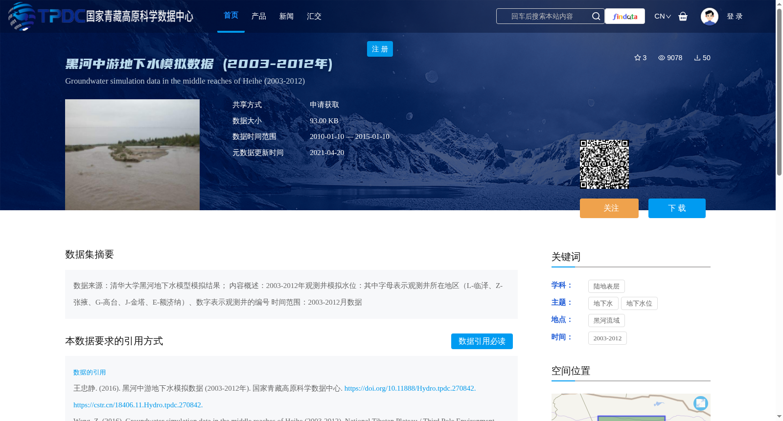
黑河中游地下水模拟数据 (2003-2012年)
收藏国家青藏高原科学数据中心2021-04-20 更新2024-03-01 收录
下载链接:
https://data.tpdc.ac.cn/zh-hans/data/d5dac478-0540-4416-bb87-3a571ebb6369
下载链接
链接失效反馈官方服务:
资源简介:
数据来源:清华大学黑河地下水模型模拟结果;
内容概述:2003-2012年观测井模拟水位:其中字母表示观测井所在地区(L-临泽、Z-张掖、G-高台、J-金塔、E-额济纳)、数字表示观测井的编号
时间范围:2003-2012月数据
Data source: Simulation results of the Heihe River groundwater model from Tsinghua University. Content overview: Simulated water levels of observation wells from 2003 to 2012, where letters indicate the regions where the observation wells are located (L - Linze, Z - Zhangye, G - Gaotai, J - Jinta, E - Ejina) and numbers represent the serial numbers of the observation wells. Time range: Monthly data spanning 2003 to 2012.
提供机构:
王忠静
创建时间:
2016-01-03
搜集汇总
数据集介绍
背景与挑战
背景概述
该数据集包含2003-2012年黑河中游地区(临泽、张掖、高台、金塔、额济纳)观测井的地下水模拟水位数据,由清华大学黑河地下水模型生成,数据量为93.00 KB。
以上内容由遇见数据集搜集并总结生成


