新疆1:25万基础地理数据(2008年)
收藏国家地球系统科学数据中心2017-10-23 更新2024-03-04 收录
下载链接:
https://www.geodata.cn/data/datadetails.html?dataguid=208108916466058&docId=26273
下载链接
链接失效反馈官方服务:
资源简介:
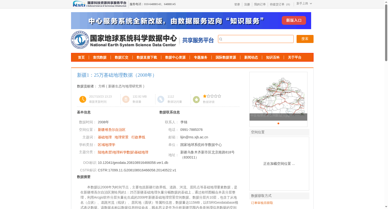
本数据以2008年为时间节点,主要包括新疆行政界线、道路、河流、居民点等基础地理要素数据,是在新疆维吾尔自治区测绘局的1:25万新疆基础地理矢量分幅数据的基础上,通过相邻图幅合并及分层整理,利用Arcgis软件分层矢量化生成的2008年新疆基础地理背景空间数据。数据分层共10层,包含了从地名(点状)、道路河流(线状)、居民地(面状)等属性信息,数据量达115MB,以ESRIGeodatabase格式表达数据。该数据名称以数据信息特征命名,顾名思义是作为分析新疆范围内各类地理信息数据的空间背景信息。
This dataset, dated to the year 2008, mainly includes basic geospatial feature data such as administrative boundaries, roads, rivers, and settlements in Xinjiang. It was generated based on the 1:250,000-scale basic geospatial vector tiled data of Xinjiang from the Surveying and Mapping Bureau of Xinjiang Uygur Autonomous Region, through merging adjacent map sheets, organizing by layers, and performing layer-wise vectorization using ArcGIS software, resulting in the 2008 Xinjiang basic geospatial background spatial data. The dataset has a total of 10 layers, containing attribute information such as place names (point features), roads and rivers (line features), and settlements (polygon features). The total size of the dataset is 115 MB, and it is stored in the ESRI Geodatabase format. Named according to its data characteristics, this dataset serves as spatial background information for analyzing various types of geospatial data within the Xinjiang region, as its name implies.
提供机构:
新疆生态与地理研究所
创建时间:
2014-05-22
搜集汇总
数据集介绍
背景与挑战
背景概述
该数据集为2008年新疆1:25万基础地理数据,包含行政界线、道路、河流、居民点等10层地理要素,数据量115MB,采用WGS1984投影和ESRI Geodatabase格式,适用于新疆地区地理信息分析的背景数据。
以上内容由遇见数据集搜集并总结生成


