水体遥感监测一张图
收藏苏州大数据交易所2025-04-19 更新2025-04-20 收录
下载链接:
https://jy.suzhou.com.cn/#/product-detail/1378
下载链接
链接失效反馈官方服务:
资源简介:
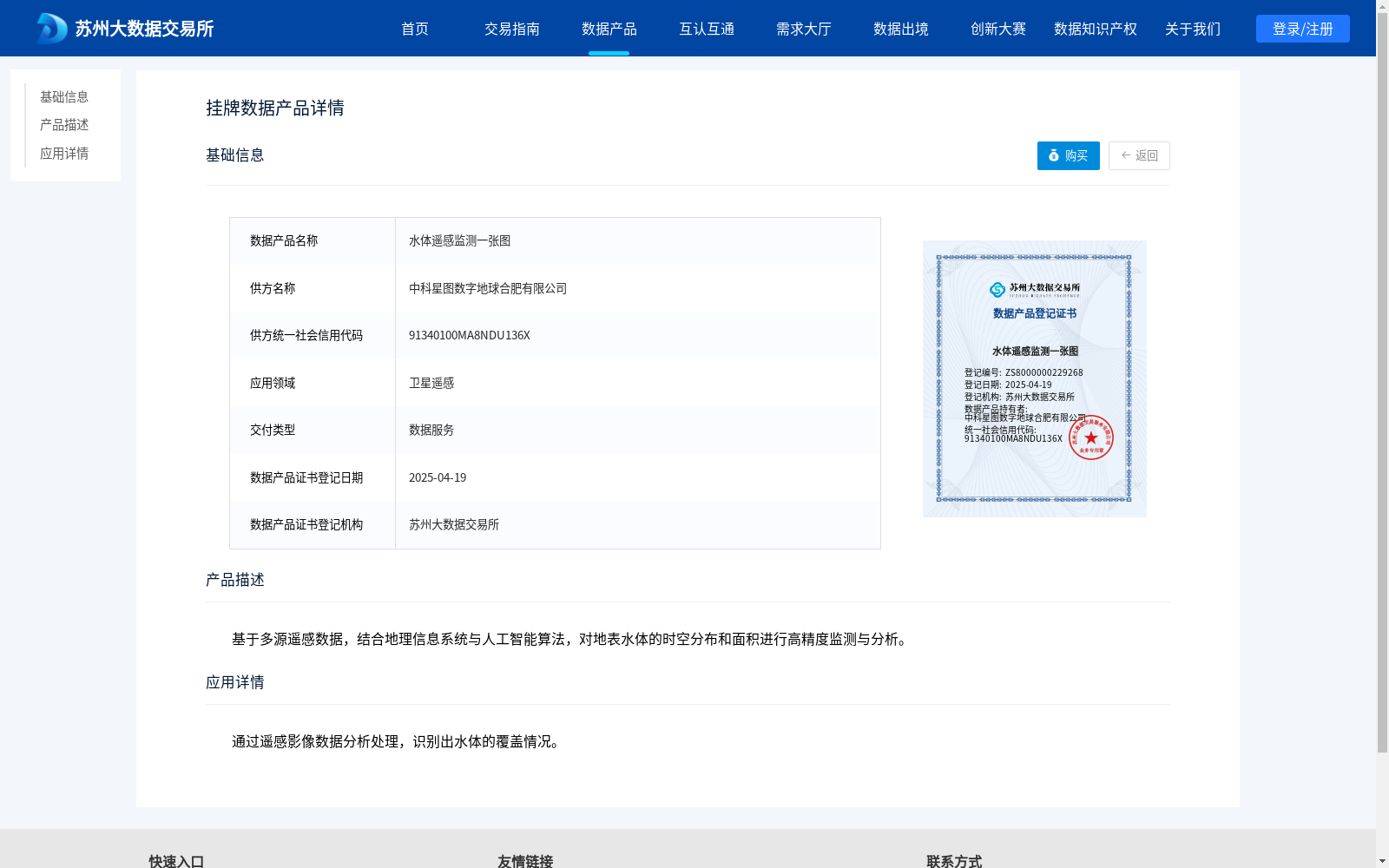
基于多源遥感数据,结合地理信息系统与人工智能算法,对地表水体的时空分布和面积进行高精度监测与分析。
Based on multi-source remote sensing data and combined with Geographic Information Systems (GIS) and artificial intelligence algorithms, this dataset conducts high-precision monitoring and analysis of the spatiotemporal distribution and area of surface water bodies.
提供机构:
中科星图数字地球合肥有限公司
创建时间:
2025-04-19
搜集汇总
数据集介绍
背景与挑战
背景概述
该数据集名为'水体遥感监测一张图',由中科星图数字地球合肥有限公司提供,主要应用于卫星遥感领域。数据集基于多源遥感数据,结合地理信息系统与人工智能算法,用于高精度监测和分析地表水体的时空分布和面积,并通过遥感影像数据分析处理识别水体覆盖情况。
以上内容由遇见数据集搜集并总结生成


