格陵兰重点区域冰川无人机影像镶嵌图
收藏地球大数据科学工程2024-03-04 收录
下载链接:
https://data.casearth.cn/sdo/detail/6540b578819aec161bb70489
下载链接
链接失效反馈官方服务:
资源简介:
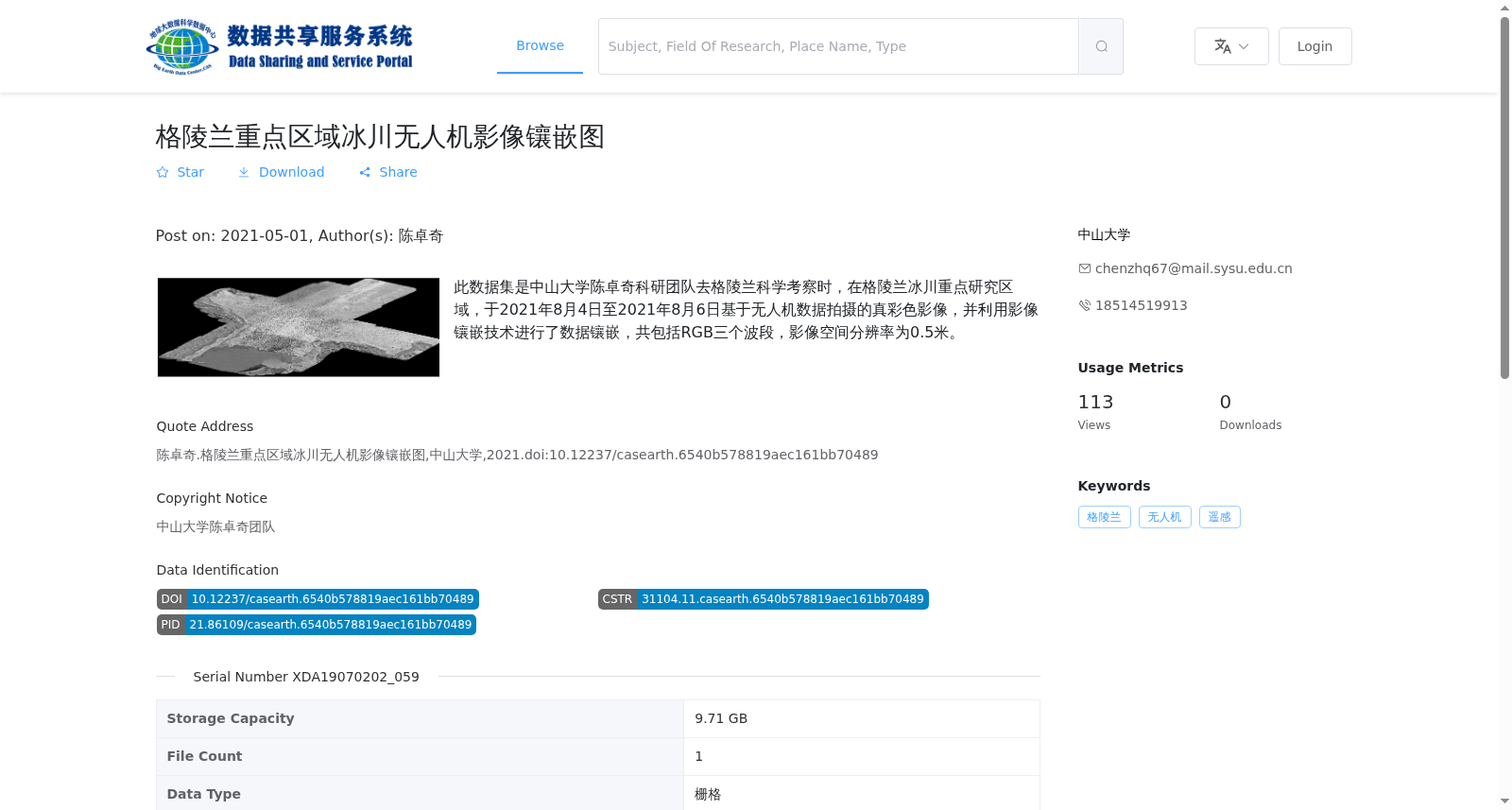
此数据集是中山大学陈卓奇科研团队去格陵兰科学考察时,在格陵兰冰川重点研究区域,于2021年8月4日至2021年8月6日基于无人机数据拍摄的真彩色影像,并利用影像镶嵌技术进行了数据镶嵌,共包括RGB三个波段,影像空间分辨率为0.5米。
This dataset comprises true-color imagery collected by the research team led by Chen Zhuoqi from Sun Yat-sen University during their scientific expedition to Greenland. The imagery was captured in key research areas of the Greenland glaciers between August 4 and August 6, 2021, using unmanned aerial vehicle (UAV) data, and was subsequently mosaicked via image mosaic technology. It includes three RGB bands and has a spatial resolution of 0.5 meters.
提供机构:
中山大学
搜集汇总
数据集介绍
背景与挑战
背景概述
该数据集是中山大学陈卓奇科研团队在2021年8月于格陵兰冰川重点研究区域采集的无人机真彩色影像镶嵌图,包含RGB三个波段,空间分辨率为0.5米,数据格式为GeoTiff,总容量9.71 GB。它提供了高分辨率的冰川表面影像,适用于冰川变化监测和遥感研究。
以上内容由遇见数据集搜集并总结生成


