2010-2015年中国各地市绿化覆盖空间化数据集
收藏地球大数据科学工程2024-03-04 收录
下载链接:
https://data.casearth.cn/sdo/detail/5c19a5670600cf2a3c557b17
下载链接
链接失效反馈官方服务:
资源简介:
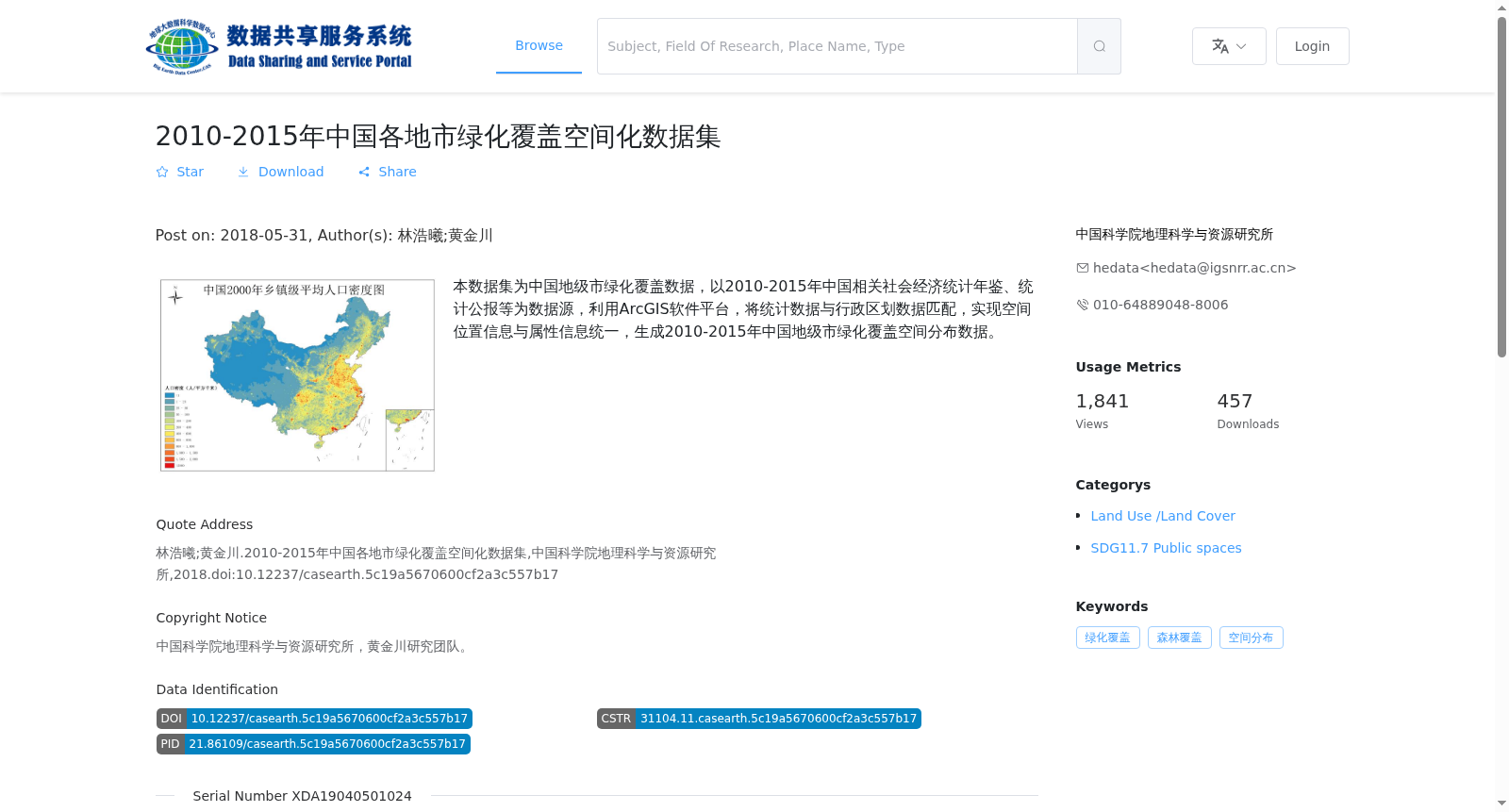
本数据集为中国地级市绿化覆盖数据,以2010-2015年中国相关社会经济统计年鉴、统计公报等为数据源,利用ArcGIS软件平台,将统计数据与行政区划数据匹配,实现空间位置信息与属性信息统一,生成2010-2015年中国地级市绿化覆盖空间分布数据。
This dataset comprises green coverage data for prefecture-level cities in China. Leveraging data sources including China's relevant socio-economic statistical yearbooks, statistical bulletins and other related materials from 2010 to 2015, we utilized the ArcGIS software platform to match statistical data with administrative division data, unifying spatial location information and attribute information, and generating spatially distributed green coverage data for prefecture-level cities in China covering the 2010–2015 period.
提供机构:
中国科学院地理科学与资源研究所
搜集汇总
数据集介绍
背景与挑战
背景概述
该数据集提供了2010年至2015年中国地级市绿化覆盖的空间化数据,基于社会经济统计年鉴和公报,利用ArcGIS处理生成矢量Shp格式文件,覆盖全国范围,具有地市级空间分辨率,适用于地理分析和可持续城市发展研究。
以上内容由遇见数据集搜集并总结生成


