农业遥感监测评估服务
收藏上海数据交易所2025-01-17 更新2026-03-21 收录
下载链接:
https://nidts.chinadep.com/reg-hall/product-detail?id=5635
下载链接
链接失效反馈官方服务:
资源简介:
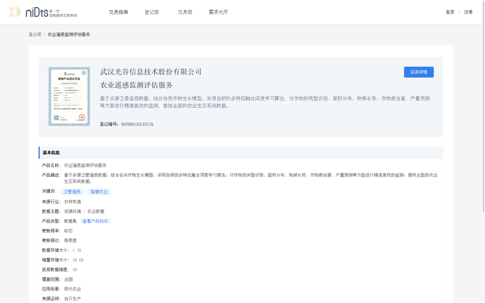
基于多源卫星遥感数据,结合各类作物生长模型,采用自研的多特征融合深度学习算法,对作物的类型识别、面积分布、物候长势、作物病虫害、产量预测等方面进行精准高效的监测,提供全面的农业生态系统数据。
This dataset leverages multi-source satellite remote sensing data, combines with various crop growth models, and adopts a self-developed multi-feature fusion deep learning algorithm to conduct accurate and efficient monitoring on crop type identification, area distribution, phenological growth, crop diseases and pests, yield prediction and other relevant fields, while providing comprehensive agricultural ecosystem data.
提供机构:
武汉光谷信息技术股份有限公司
创建时间:
2025-01-17
搜集汇总
数据集介绍
背景与挑战
背景概述
该数据集名为'农业遥感监测评估服务',基于多源卫星遥感数据,结合作物生长模型和深度学习算法,用于作物类型识别、面积分布、物候长势、病虫害监测和产量预测等。数据集覆盖全国,更新频率为每季度,数据存储大小为1 TB,适用于现代农业应用场景。
以上内容由遇见数据集搜集并总结生成


