青藏高原1km逐日土壤水分数据集(2001-2020)
收藏国家青藏高原科学数据中心2023-02-08 更新2024-03-01 收录
下载链接:
https://data.tpdc.ac.cn/zh-hans/data/b611fb43-c18c-4966-a85c-949ce1ca60f2
下载链接
链接失效反馈官方服务:
资源简介:
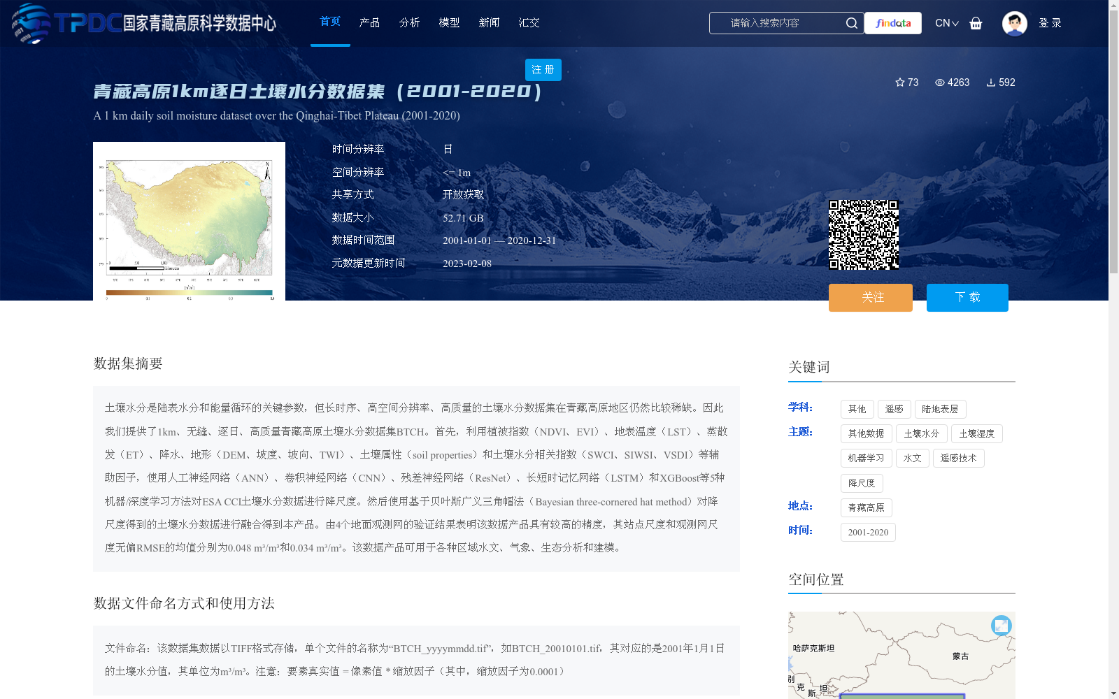
土壤水分是陆表水分和能量循环的关键参数,但长时序、高空间分辨率、高质量的土壤水分数据集在青藏高原地区仍然比较稀缺。因此我们提供了1km、无缝、逐日、高质量青藏高原土壤水分数据集BTCH。首先,利用植被指数(NDVI、EVI)、地表温度(LST)、蒸散发(ET)、降水、地形(DEM、坡度、坡向、TWI)、土壤属性(soil properties)和土壤水分相关指数(SWCI、SIWSI、VSDI)等辅助因子,使用人工神经网络(ANN)、卷积神经网络(CNN)、残差神经网络(ResNet)、长短时记忆网络(LSTM)和XGBoost等5种机器/深度学习方法对ESA CCI土壤水分数据进行降尺度。然后使用基于贝叶斯广义三角帽法(Bayesian three-cornered hat method)对降尺度得到的土壤水分数据进行融合得到本产品。由4个地面观测网的验证结果表明该数据产品具有较高的精度,其站点尺度和观测网尺度无偏RMSE的均值分别为0.048 m³/m³和0.034 m³/m³。该数据产品可用于各种区域水文、气象、生态分析和建模。
Soil moisture is a key parameter of land surface water and energy cycles. However, long-term time series, high spatial resolution and high-quality soil moisture datasets remain scarce in the Qinghai-Tibet Plateau. Therefore, we present the 1 km, seamless, daily and high-quality Qinghai-Tibet Plateau soil moisture dataset BTCH. First, we downscaled the ESA CCI soil moisture dataset via five machine/deep learning approaches, namely Artificial Neural Network (ANN), Convolutional Neural Network (CNN), Residual Neural Network (ResNet), Long Short-Term Memory (LSTM) network and XGBoost, using a suite of auxiliary factors including vegetation indices (NDVI, EVI), land surface temperature (LST), evapotranspiration (ET), precipitation, topographic variables (DEM, slope, aspect, TWI), soil properties and soil moisture-associated indices (SWCI, SIWSI, VSDI). Subsequently, the downscaled soil moisture data were fused via the Bayesian three-cornered hat method to generate this dataset product. Validation results from four ground observation networks demonstrate that this dataset product has high accuracy, with mean unbiased RMSE values of 0.048 m³/m³ at the site scale and 0.034 m³/m³ at the network scale, respectively. This dataset product can be applied to various regional hydrological, meteorological and ecological analyses and modeling.
提供机构:
上官宇霖,史舟,闵肖肖
创建时间:
2023-01-14
搜集汇总
数据集介绍
背景与挑战
背景概述
该数据集是青藏高原地区2001年至2020年的1公里逐日土壤水分数据,通过融合多种机器学习和深度学习方法对ESA CCI数据进行降尺度生成,具有高精度(无偏RMSE均值为0.048 m³/m³和0.034 m³/m³),适用于水文、气象和生态分析。数据以TIFF格式存储,开放获取,大小为52.71 GB。
以上内容由遇见数据集搜集并总结生成


