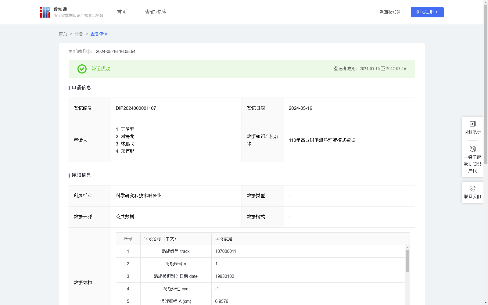
110年高分辨率海洋环流模式数据
收藏浙江省数据知识产权登记平台2024-05-16 更新2024-05-18 收录
下载链接:
https://www.zjip.org.cn/home/announce/trends/33379
下载链接
链接失效反馈官方服务:
资源简介:
现有的海洋研究缺乏对全球海洋的大范围、长时期、高精度观测数据,使得当前对不同时空尺度海洋运动形式,特别是海洋中尺度涡旋的长期变化特征,仍然缺少系统、全面、定量的认知。全面的评估分析表明本数据集可以较为准确地刻画出大尺度环流场和中尺度涡旋场的时空变化特征,因此可以帮助我们更好地认识不同时空尺度海洋运动形式对全球变暖的响应过程。应用场景为科学研究、远航航运、国防安全、防灾减灾、环境保护、海上能源和其他海上生产活动等领域。数据构建过程的算法仅在数据集完成前使用,公布的数据集已经是完整版本。本数据集基于中国科学院大气物理研究所自主研发的海洋-海冰耦合系统模式(CAS-LICOM3)生成,ERA-20C的大气数据产品为模式的输入数据,进行了110年的海洋要素输出。输出数据采用双线性法插值到1/4°×1/4°的网格上,垂直42层,时间分辨率为1天(部分数据为1个月)。data-model_output文件夹中保存了模拟所得的海洋要素数据,分为三个子文件夹:daily文件夹中为1901-2010年的逐日海表高度模拟数据;daily-1993To2010文件夹中为1993-2010年的逐日海洋要素模拟数据;monthly文件夹中为1901-2010年的逐月海洋要素模拟数据。海洋要素数据的三个维度分别代表时间、经度和纬度,时间位于每个文件名称中。本数据集还包括全球中尺度涡旋轨迹数据,输入数据为观测和模拟的海表高度场数据,采用海表面高度异常的等值线特征算法进行识别,并利用“追根溯源法”构建每个中尺度涡旋的轨迹,输出数据维度为涡旋轨迹的总条数。数据存储格式均为NetCDF,可用科学软件matlab或Python读取。
Current oceanographic research lacks large-scale, long-term, and high-precision observational data for the global ocean, resulting in a lack of systematic, comprehensive, and quantitative understanding of oceanic motions at different spatio-temporal scales, particularly the long-term variation characteristics of marine mesoscale eddies. Comprehensive evaluation and analysis demonstrate that this dataset can accurately characterize the spatio-temporal variation features of large-scale circulation fields and mesoscale eddy fields, thereby helping us better understand the response processes of oceanic motions at different spatio-temporal scales to global warming. Its applicable scenarios cover scientific research, deep-sea shipping navigation, national defense security, disaster prevention and mitigation, environmental protection, offshore energy, and other offshore production activities. The algorithms used in the dataset construction process were only applied prior to the completion of the dataset, and the released dataset is already the final complete version. This dataset is generated based on the ocean-sea ice coupled system model (CAS-LICOM3) independently developed by the Institute of Atmospheric Physics, Chinese Academy of Sciences. The atmospheric data product ERA-20C serves as the input data for the model, and 110-year outputs of oceanic variables are generated. The output data is interpolated to a 1/4° × 1/4° grid via bilinear interpolation, with 42 vertical levels and a temporal resolution of 1 day (some datasets adopt a temporal resolution of 1 month). The "data-model_output" folder stores the simulated oceanic variable data, which is divided into three subfolders: the "daily" folder contains daily simulated sea surface height data from 1901 to 2010; the "daily-1993To2010" folder contains daily simulated oceanic variable data from 1993 to 2010; the "monthly" folder contains monthly simulated oceanic variable data from 1901 to 2010. The three dimensions of the oceanic variable data represent time, longitude, and latitude respectively, and the time information is embedded in each file name. This dataset also includes global mesoscale eddy trajectory data. The input data consists of observed and simulated sea surface height field data. Eddy identification is performed using the contour feature algorithm of sea surface height anomalies, and the "source-tracing" method is utilized to construct the trajectories of each mesoscale eddy. The dimension of the output data is the total number of eddy trajectories. All data are stored in NetCDF format, which can be read by scientific software such as Matlab or Python.
提供机构:
丁梦蓉,刘海龙,林鹏飞,郑伟鹏
创建时间:
2024-04-26
搜集汇总
数据集介绍
以上内容由遇见数据集搜集并总结生成


