
2018-2019西北太平洋Himawari-8AHI与台风相交数据集
收藏地球大数据科学工程2024-03-04 收录
官方服务:
资源简介:
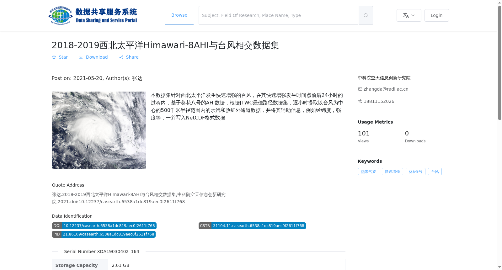
本数据集针对西北太平洋发生快速增强的台风,在其快速增强发生时间点前后24小时的过程内,基于葵花八号的AHI数据,根据JTWC最佳路径数据集,逐小时提取以台风为中心的500千米半径范围内的水汽和热红外通道数据,并将其辅助信息,例如经纬度,强度等,一并写入NetCDF格式数据
This dataset focuses on typhoons undergoing rapid intensification in the Northwestern Pacific Ocean, within the 24-hour window spanning the onset time of their rapid intensification. Based on the Advanced Himawari Imager (AHI) data from Himawari-8 and the best-track dataset from the Joint Typhoon Warning Center (JTWC), it hourly extracts water vapor and thermal infrared channel data within a 500-kilometer radius area centered on each typhoon, and writes the data along with its ancillary information such as latitude, longitude, intensity and others into files in NetCDF format.
提供机构:
中科院空天信息创新研究院搜集汇总
数据集介绍
背景与挑战
背景概述
本数据集聚焦2018-2019年西北太平洋快速增强的台风,利用葵花八号AHI数据,在台风快速增强时间点前后24小时内,逐小时提取以台风为中心500千米半径范围内的水汽和热红外通道数据,并整合经纬度、强度等辅助信息,存储为NetCDF格式。数据集具有高时间分辨率(1小时)和空间分辨率(5公里),总容量2.61 GB,适用于研究台风快速增强过程的气象和遥感分析。
以上内容由遇见数据集搜集并总结生成


