AMSR2 ASI sea ice concentration data, Arctic, version 5.4 (NetCDF) (July 2012 - December 2019)
收藏DataCite Commons2025-04-01 更新2025-04-16 收录
下载链接:
https://doi.pangaea.de/10.1594/PANGAEA.898399
下载链接
链接失效反馈官方服务:
资源简介:
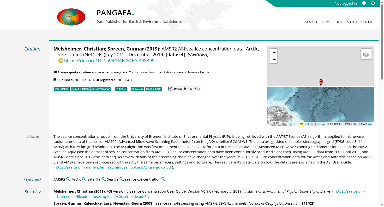
The sea ice concentration product from the University of Bremen, Institute of Environmental Physics (IUP), is being retrieved with the ARTIST Sea Ice (ASI) algorithm, applied to microwave radiometer data of the sensor AMSR2 (Advanced Microwave Scanning Radiometer 2) on the JAXA satellite GCOM-W1. The data are gridded on a polar stereographic grid (EPSG code 3411, Arctic) with 6.25 km grid resolution. The ASI algorithm was first implemented at IUP in 2002 for data of the sensor AMSR-E (Advanced Microwave Scanning Radiometer for EOS) on the NASA satellite Aqua (see the dataset of sea ice concentration from AMSR-E). Sea ice concentration data have been continuously produced since then, using AMSR-E data from 2002 until 2011, and AMSR2 data since 2012 (this data set). As several details of the processing chain have changed over the years, in 2018, all ASI ice concentration data for the Arctic and Antarctic based on AMSR-E and AMSR2 have been reprocessed with exactly the same parameters, settings and software. The result are ASI data, version 5.4. The details are explained in the ASI User Guide (https://seaice.uni-bremen.de/fileadmin/user_upload/ASIuserguide.pdf).
不来梅大学环境物理研究所(Institute of Environmental Physics, IUP)的海冰密集度产品,采用ARTIST海冰算法(ARTIST Sea Ice, ASI)对搭载于日本宇宙航空研究开发机构(JAXA)GCOM-W1卫星的高级微波扫描辐射计2(Advanced Microwave Scanning Radiometer 2, AMSR2)的微波辐射计数据进行反演。该数据以极向立体投影网格(EPSG代码3411,北极区域)进行网格化处理,网格分辨率为6.25千米。
ASI算法最早于2002年由IUP针对搭载于美国国家航空航天局(NASA)Aqua卫星的EOS高级微波扫描辐射计(Advanced Microwave Scanning Radiometer for EOS, AMSR-E)数据开发完成,相关数据集可参阅AMSR-E海冰密集度数据集。自2002年至2011年,研究团队通过AMSR-E数据持续生成海冰密集度数据;2012年起则改用AMSR2数据,即本数据集。由于多年来处理流程的多项细节发生了变更,2018年所有基于AMSR-E和AMSR2的北极、南极海冰ASI密集度数据,均采用完全一致的参数、设置与软件进行了重新处理,最终产出的即为ASI数据版本5.4。相关细节可参阅《ASI用户指南》(https://seaice.uni-bremen.de/fileadmin/user_upload/ASIuserguide.pdf)。
提供机构:
PANGAEA
创建时间:
2019-04-30
搜集汇总
数据集介绍
背景与挑战
背景概述
该数据集包含2012年7月至2019年12月期间北极海冰浓度的AMSR2 ASI算法数据,采用6.25公里分辨率的极地立体网格,并经过统一处理以确保数据一致性。数据集每年更新,适用于气候变化研究。
以上内容由遇见数据集搜集并总结生成


