2021年中国珠三角地区GF1-2m土地利用分类数据集
收藏资源简介:
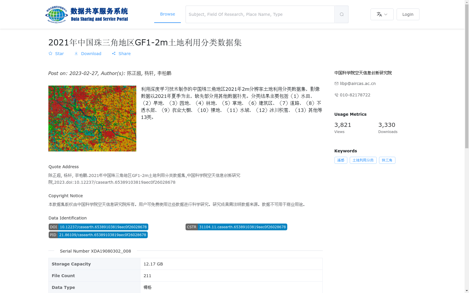
利用深度学习技术制作的中国珠三角地区2021年2m分辨率土地利用分类数据集,影像数据以2021年夏季为主,缺失部分用其他数据补充。分类结果主要包括(1)水田、(2)旱地、(3)园地、(4)林地、(5)草地、(6)建筑区、(7)道路、(8)不透水层、(9)农业大棚、(10)裸地、(11)水域、(12)冰川积雪、(13)其他等13类。
This is a 2-meter resolution land use classification dataset of the Pearl River Delta region in China, developed in 2021 using deep learning technologies. The dataset's remote sensing image data is primarily sourced from summer 2021, with missing portions supplemented by other datasets. The classification results mainly include 13 categories: (1) paddy fields, (2) dry farmland, (3) gardens and plantations, (4) forest land, (5) grassland, (6) built-up areas, (7) roads, (8) impervious surfaces, (9) agricultural greenhouses, (10) bare land, (11) water bodies, (12) glacial snow cover, (13) others.