中巴经济走廊(国内部分)500m承灾体脆弱性评价图(2023)
收藏资源简介:
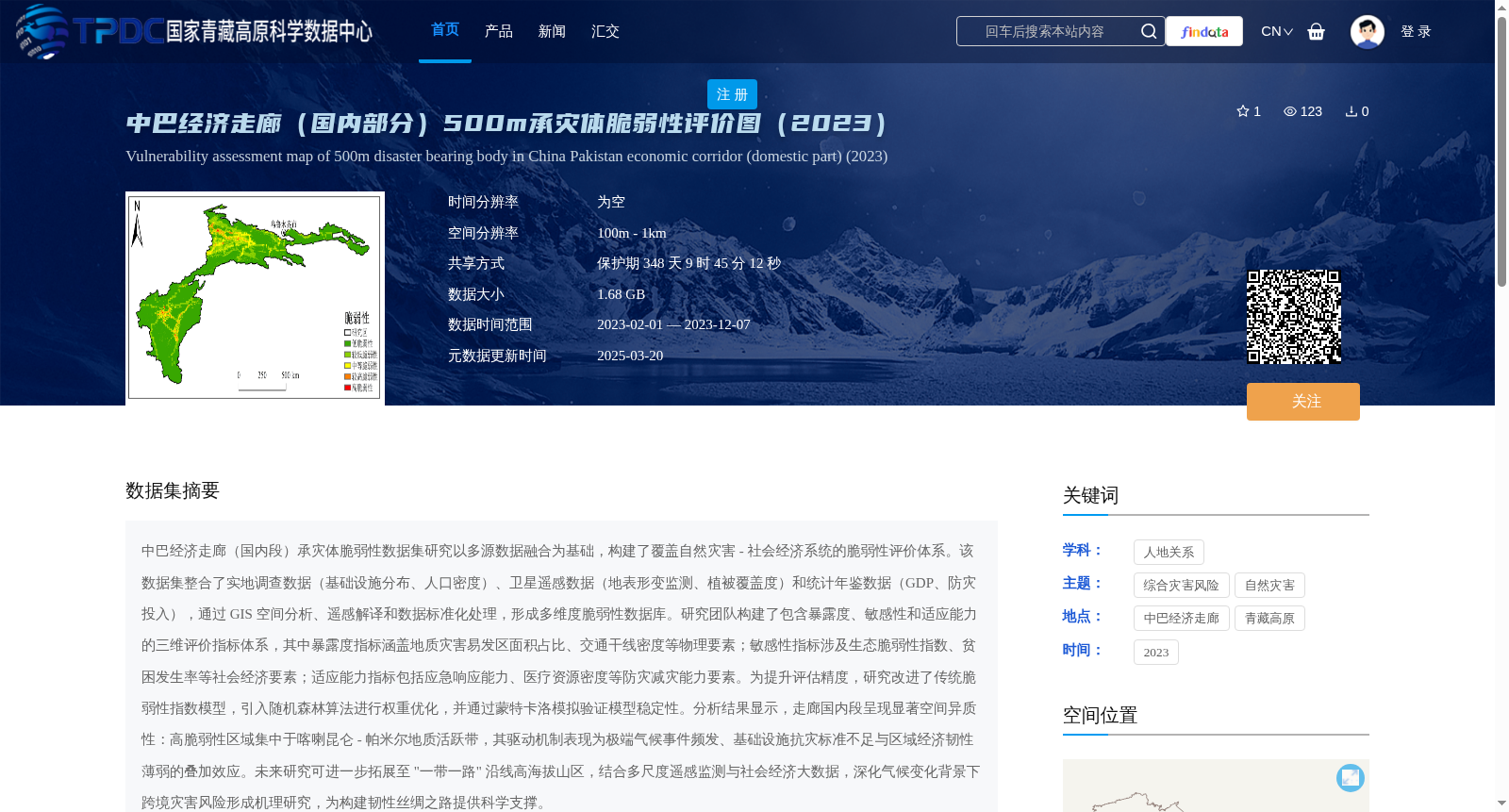
中巴经济走廊(国内段)承灾体脆弱性数据集研究以多源数据融合为基础,构建了覆盖自然灾害 - 社会经济系统的脆弱性评价体系。该数据集整合了实地调查数据(基础设施分布、人口密度)、卫星遥感数据(地表形变监测、植被覆盖度)和统计年鉴数据(GDP、防灾投入),通过 GIS 空间分析、遥感解译和数据标准化处理,形成多维度脆弱性数据库。研究团队构建了包含暴露度、敏感性和适应能力的三维评价指标体系,其中暴露度指标涵盖地质灾害易发区面积占比、交通干线密度等物理要素;敏感性指标涉及生态脆弱性指数、贫困发生率等社会经济要素;适应能力指标包括应急响应能力、医疗资源密度等防灾减灾能力要素。为提升评估精度,研究改进了传统脆弱性指数模型,引入随机森林算法进行权重优化,并通过蒙特卡洛模拟验证模型稳定性。分析结果显示,走廊国内段呈现显著空间异质性:高脆弱性区域集中于喀喇昆仑 - 帕米尔地质活跃带,其驱动机制表现为极端气候事件频发、基础设施抗灾标准不足与区域经济韧性薄弱的叠加效应。未来研究可进一步拓展至 "一带一路" 沿线高海拔山区,结合多尺度遥感监测与社会经济大数据,深化气候变化背景下跨境灾害风险形成机理研究,为构建韧性丝绸之路提供科学支撑。
This study on the vulnerability dataset of disaster-bearing elements in the China-Pakistan Economic Corridor (Domestic Section) is based on multi-source data fusion, and constructs a vulnerability assessment system covering natural disaster-socioeconomic systems. This dataset integrates field survey data (including infrastructure distribution and population density), satellite remote sensing data (including surface deformation monitoring and vegetation coverage), and statistical yearbook data (including GDP and disaster prevention investment). Through GIS spatial analysis, remote sensing interpretation and data standardization processing, a multi-dimensional vulnerability database is formed. The research team constructs a three-dimensional evaluation index system containing exposure, sensitivity and adaptive capacity: the exposure indicators cover physical factors such as the proportion of geological disaster-prone areas and traffic trunk line density; the sensitivity indicators involve socio-economic factors such as ecological vulnerability index and poverty incidence rate; the adaptive capacity indicators include disaster prevention and mitigation capacity factors such as emergency response capacity and medical resource density. To improve assessment accuracy, this study improves the traditional vulnerability index model, introduces the random forest algorithm for weight optimization, and verifies the model stability through Monte Carlo simulation. The analysis results show that the domestic section of the corridor exhibits significant spatial heterogeneity: high-vulnerability areas are concentrated in the Karakoram-Pamir geologically active zone, whose driving mechanism is the superposition effect of frequent extreme climate events, insufficient disaster resistance standards for infrastructure and weak regional economic resilience. Future research can be further expanded to high-altitude mountainous areas along the Belt and Road Initiative, combining multi-scale remote sensing monitoring and socio-economic big data to deepen the research on the formation mechanism of cross-border disaster risks under the background of climate change, providing scientific support for the construction of the Resilient Silk Road.