太湖流域1:10万耕地变化数据集(2000、2005、2010年)
收藏国家地球系统科学数据中心2024-09-04 更新2024-03-04 收录
下载链接:
https://www.geodata.cn/data/datadetails.html?dataguid=56390933738987&docId=2694
下载链接
链接失效反馈官方服务:
资源简介:
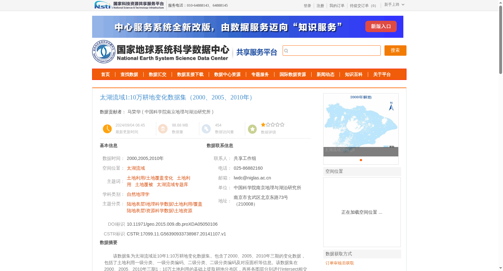
该数据集为太湖流域近10年1:10万耕地变化数据集。包含了2000、2005、2010年三期的变化数据, 包括了土地利用一级分类、一级分类编码、二级分类、二级分类编码及对应面积等信息。该数据集在2000、2005、2010年三期1:10万土地利用的基础上提取耕地分布区,再将各图层分别进行intersect相交处理,分别得到基于2000年及2005年的耕地变化数据,将其中基于2000年及2005年耕地发生变化的数据提取出来,再根据土地利用现状分类标准,将土地利用类型进行一级分类并附上其一级编码,最终得到太湖流域耕地的三期变化数据。
数据内容包含了3个shp矢量数据:
太湖流域耕地变化00-05.shp,为太湖流域2000-2005年5年耕地的变化数据;
太湖流域耕地变化00-10.shp,为太湖流域2000-2010年10年耕地变化数据;
太湖流域耕地变化05-10.shp,为太湖流域2005-2010年5年耕地变化数据。
This is the 1:100,000-scale cultivated land change dataset of the Taihu Lake Basin covering the 2000-2010 decade. It includes change data for three periods: 2000, 2005 and 2010, covering information such as primary land use classification, primary classification code, secondary land use classification, secondary classification code and corresponding area of each land use type.
The dataset is developed by first extracting cultivated land distribution areas from the 1:100,000-scale land use datasets of the three periods in the Taihu Lake Basin. Then spatial intersect operations are performed on each individual layer to derive cultivated land change datasets based on the 2000 and 2005 base years respectively. The records where cultivated land experienced changes between 2000-2005 and 2005-2010 are extracted. Finally, primary classification is conducted on land use types along with their corresponding primary codes in accordance with the current land use classification standards, thus obtaining the three-period cultivated land change datasets for the Taihu Lake Basin.
The dataset contains 3 shapefile vector datasets:
- Taihu Lake Basin Cultivated Land Change 00-05.shp: 5-year cultivated land change data from 2000 to 2005 in the Taihu Lake Basin;
- Taihu Lake Basin Cultivated Land Change 00-10.shp: 10-year cultivated land change data from 2000 to 2010 in the Taihu Lake Basin;
- Taihu Lake Basin Cultivated Land Change 05-10.shp: 5-year cultivated land change data from 2005 to 2010 in the Taihu Lake Basin.
提供机构:
中国科学院南京地理与湖泊研究所
创建时间:
2014-11-07
搜集汇总
数据集介绍
背景与挑战
背景概述
该数据集是太湖流域1:10万耕地变化数据集,覆盖2000、2005和2010年三个时期,以shp矢量格式提供了2000-2005年、2000-2010年和2005-2010年三个时间段的耕地变化数据,包括土地利用的一级和二级分类及编码。数据基于土地利用数据提取耕地分布并经过intersect相交处理生成,采用WGS84坐标系和Albers投影,质量符合国家标准,是专项研究成果,适用于土地利用变化和耕地监测研究。
以上内容由遇见数据集搜集并总结生成


