黑河流域逐日100米地表蒸散发数据(2010-2016)(HiTLL ET V1.0)
收藏国家青藏高原科学数据中心2021-04-19 更新2024-03-01 收录
下载链接:
https://data.tpdc.ac.cn/zh-hans/data/118dfdff-c07d-449a-8947-8a2a19d768b0
下载链接
链接失效反馈官方服务:
资源简介:
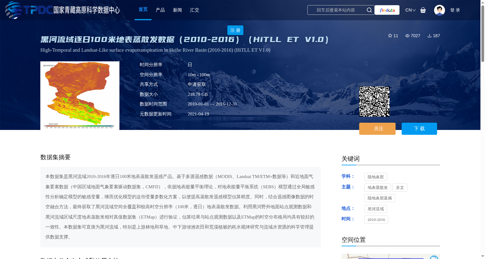
本数据集是黑河流域2010-2016年逐日100米地表蒸散发遥感产品。基于多源遥感数据(MODIS、Landsat TM/ETM+数据等)和近地面气象要素数据(中国区域地面气象要素驱动数据集,CMFD),依据地表能量平衡理论,对地表能量平衡系统(SEBS)模型通过全局敏感性分析确定模型的敏感变量,继而优化模型的这些变量参数化方案,以便提高蒸散发遥感模型估算精度。同时,结合遥感图像数据的时空融合方法,最终获取了黑河流域空间全覆盖和较高时空分辨率(100米,逐日)地表蒸散发数据。利用黑河野外地面站点观测数据和黑河流域区域尺度地表蒸散发相对真值数据集(ETMap)进行验证,估算结果与站点观测数据以及ETMap的时空分布格局均具有较好的一致性。本数据集可直接为黑河流域,特别是上游林地和草地、中下游绿洲农田和荒漠植被的耗水规律研究与流域水资源的科学管理提供数据支撑。
This dataset is a daily 100-meter resolution remote sensing product of surface evapotranspiration (ET) over the Heihe River Basin from 2010 to 2016. Based on the surface energy balance theory, multi-source remote sensing data (including MODIS, Landsat TM/ETM+ data, etc.) and near-surface meteorological element data (China Meteorological Forcing Dataset, CMFD), this study conducted global sensitivity analysis on the Surface Energy Balance System (SEBS) model to identify its sensitive variables, and then optimized the parameterization schemes of these variables to improve the estimation accuracy of the remote sensing ET model. Meanwhile, combined with the spatio-temporal fusion method for remote sensing image data, we finally obtained surface ET data with full spatial coverage and high spatio-temporal resolution (100 m, daily) over the Heihe River Basin. Validation using field station observation data over the Heihe River Basin and the regional-scale surface ET ground-truth dataset (ETMap) showed that the estimated results have good consistency with both the station observation data and the spatio-temporal distribution pattern of ETMap. This dataset can directly provide data support for studies on water consumption patterns and scientific management of basin water resources in the Heihe River Basin, especially for the woodland and grassland in the upper reaches, as well as oasis farmland and desert vegetation in the middle and lower reaches.
提供机构:
马燕飞,刘绍民
创建时间:
2020-12-29
搜集汇总
数据集介绍
背景与挑战
背景概述
该数据集是黑河流域2010-2016年逐日100米地表蒸散发遥感产品,基于多源遥感数据和气象数据,通过优化模型和时空融合方法生成,具有高时空分辨率和准确性,适用于流域水资源管理研究。
以上内容由遇见数据集搜集并总结生成


