长三角多尺度遥感影像数据库(2020年)
收藏国家地球系统科学数据中心2024-08-14 更新2024-04-21 收录
下载链接:
https://www.geodata.cn/data/datadetails.html?dataguid=217204229477833&docId=2832
下载链接
链接失效反馈官方服务:
资源简介:
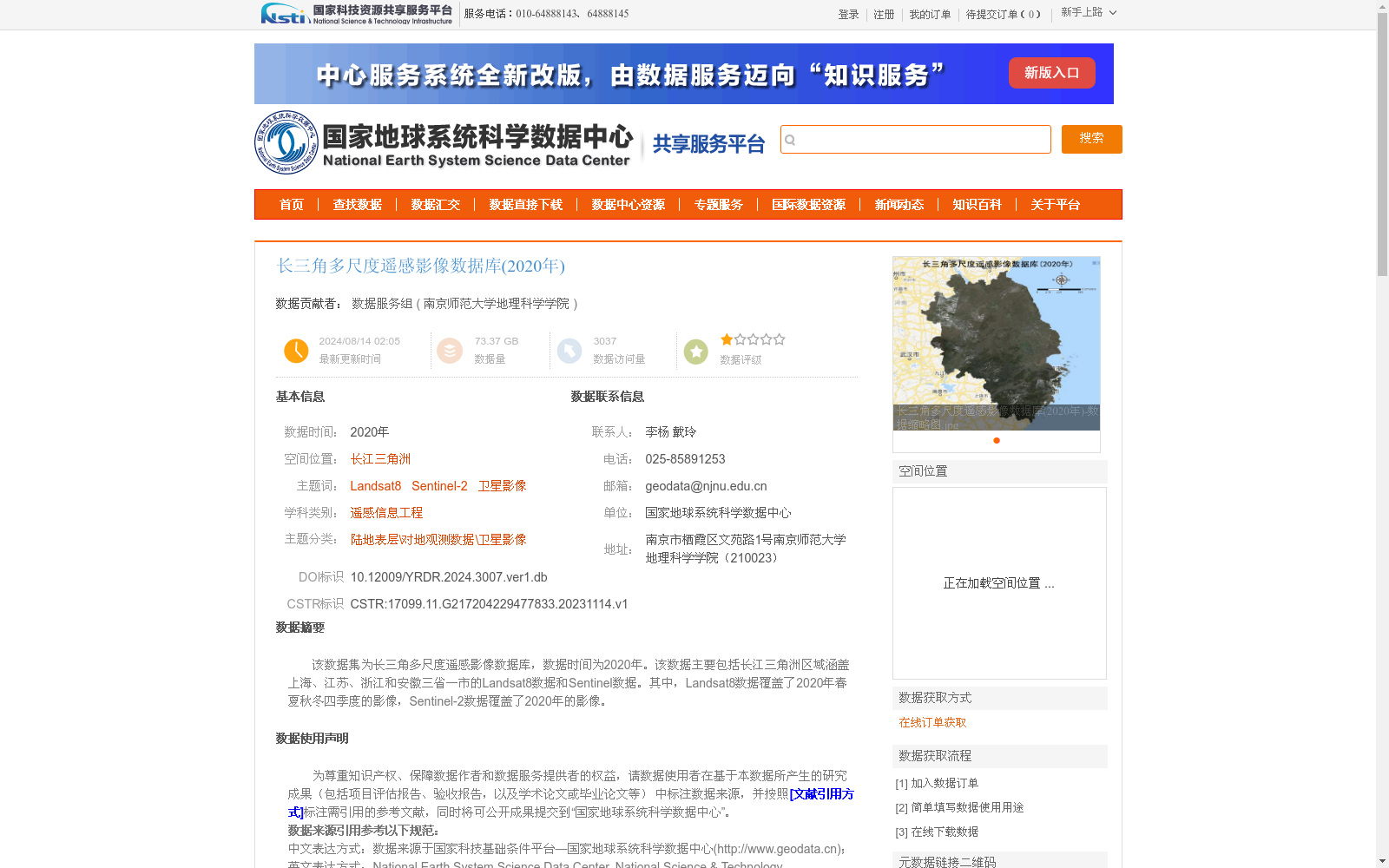
该数据集为长三角多尺度遥感影像数据库,数据时间为2020年。该数据主要包括长江三角洲区域涵盖上海、江苏、浙江和安徽三省一市的Landsat8数据和Sentinel数据。其中,Landsat8数据覆盖了2020年春夏秋冬四季度的影像,Sentinel-2数据覆盖了2020年的影像。
This dataset is a multi-scale remote sensing image database for the Yangtze River Delta (YRD) region, with all data acquired in 2020. It mainly includes Landsat 8 and Sentinel-2 satellite imagery covering the YRD area, which encompasses Shanghai, Jiangsu Province, Zhejiang Province and Anhui Province (three provinces and one direct-administered municipality). Specifically, the Landsat 8 dataset contains images from all four seasons (spring, summer, autumn and winter) of 2020, while the Sentinel-2 dataset provides imagery covering the entire year of 2020.
提供机构:
南京师范大学地理科学学院
创建时间:
2023-11-14
搜集汇总
数据集介绍
背景与挑战
背景概述
该数据集是2020年长江三角洲地区的多尺度遥感影像数据库,包含Landsat8和Sentinel-2卫星影像,覆盖上海、江苏、浙江和安徽三省一市。其中,Landsat8数据提供了春夏秋冬四季的影像,Sentinel-2数据覆盖全年,数据经过预处理(如辐射定标和大气校正),总数据量为73.37 GB,适用于遥感信息工程等研究领域。
以上内容由遇见数据集搜集并总结生成


