林业资源综合管理服务
收藏郑州数据交易中心2023-08-03 更新2024-10-10 收录
下载链接:
https://market.zzbdex.com/trade/service/1686925616553132033
下载链接
链接失效反馈官方服务:
资源简介:
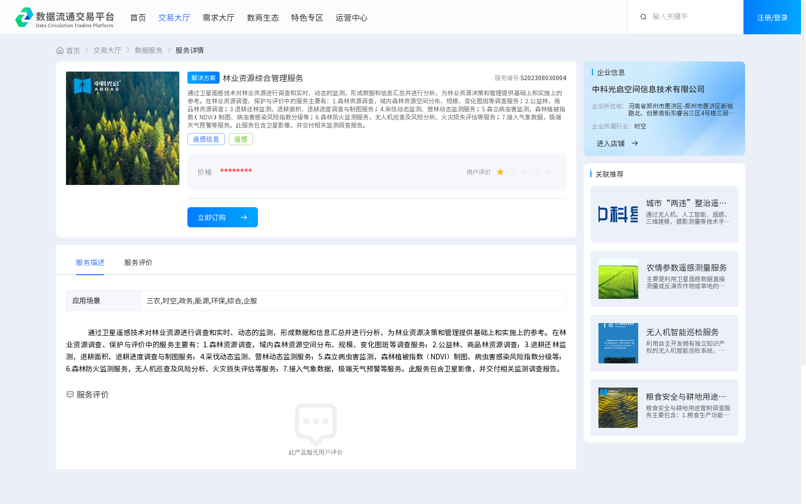
通过卫星遥感技术对林业资源进行调查和实时、动态的监测,形成数据和信息汇总并进行分析,为林业资源决策和管理提供基础上和实施上的参考。在林业资源调查、保护与评价中的服务主要有:1.森林资源调查,域内森林资源空间分布、规模、变化图斑等调查服务;2.公益林、商品林资源调查;3.退耕还林监测,退耕面积、退耕进度调查与制图服务;4.采伐动态监测、营林动态监测服务;5.森立病虫害监测,森林植被指数(NDVI)制图、病虫害感染风险指数分级等;6.森林防火监测服务,无人机巡查及风险分析、火灾损失评估等服务;7.接入气象数据,极端天气预警等服务。此服务包含卫星影像,并交付相关监测调查报告。
Forestry resource surveys and real-time dynamic monitoring are conducted via satellite remote sensing technology. Collected data and information are aggregated and analyzed to provide foundational and practical references for forestry resource decision-making and management. The services provided for forestry resource investigation, conservation and evaluation mainly include:
1. Forest resource survey services: covering surveys on the spatial distribution, scale and change patches of forest resources within the survey area;
2. Public welfare forest and commercial forest resource surveys;
3. Grain for Green Project monitoring: providing investigation and cartographic services for the converted area and progress of farmland converted to forest;
4. Dynamic monitoring of timber harvesting and afforestation;
5. Forest pest and disease monitoring: including mapping of forest vegetation index (NDVI), grading of pest and disease infection risk index, and other related services;
6. Forest fire prevention monitoring services: such as UAV patrol and risk analysis, fire loss assessment, and other related services;
7. Integration of meteorological data and services for extreme weather early warning and other related applications.
This service suite includes satellite imagery and delivers relevant monitoring and survey reports.
提供机构:
中科光启空间信息技术有限公司
创建时间:
2023-08-03
搜集汇总
数据集介绍
背景与挑战
背景概述
该数据集通过卫星遥感技术提供林业资源的实时监测和分析服务,涵盖森林资源调查、病虫害监测、防火监测等多个方面,并交付相关监测报告和卫星影像,为林业资源管理提供决策支持。
以上内容由遇见数据集搜集并总结生成


