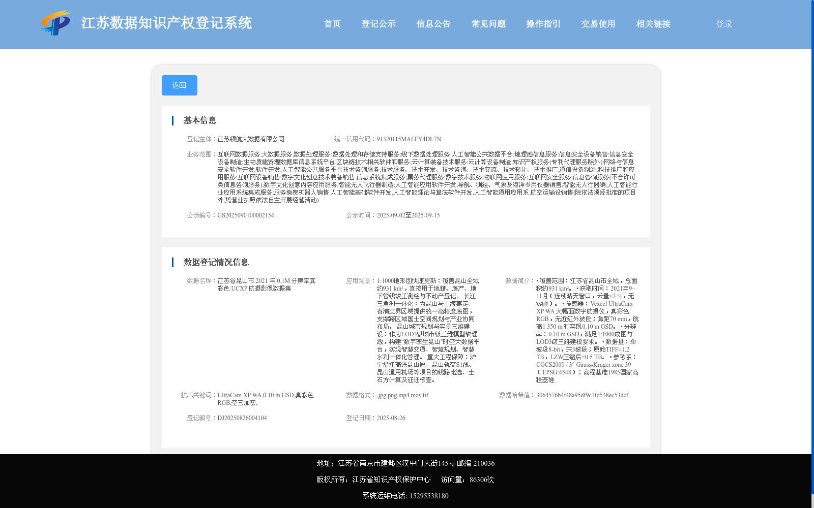
江苏省昆山市 2021 年 0.1M 分辨率真彩色 UCXP 航摄影像数据集
收藏资源简介:
• 覆盖范围:江苏省昆山市全域,总面积约931 km²。 • 获取时间:2021年9–11月(连续晴天窗口,云量<3 %,无雾霾)。 • 传感器:Vexcel UltraCam XP WA 大幅面数字航摄仪,真彩色RGB,无近红外波段;焦距70 mm,航高1 350 m 时实现0.10 m GSD。 • 分辨率:0.10 m GSD,满足1:1000成图与LOD3级三维建模要求。 • 数据量:单波段8-bit,共3波段;原始TIFF≈1.2 TB,LZW压缩后≈0.5 TB。 • 参考系:CGCS2000 / 3° Gauss-Kruger zone 39(EPSG:4548);高程基准1985国家高程基准
• Coverage: Full territory of Kunshan City, Jiangsu Province, with a total area of approximately 931 km². • Acquisition Time: September–November 2021 (during consecutive clear-sky windows, with cloud cover <3% and no haze). • Sensor: Vexcel UltraCam XP WA large-format digital aerial camera, true-color RGB without near-infrared band; focal length of 70 mm, achieving a ground sampling distance (GSD) of 0.10 m at a flight altitude of 1,350 m. • Resolution: 0.10 m GSD, meeting the requirements for 1:1000 scale mapping and LOD3-level 3D modeling. • Data Volume: 8-bit single-band, 3 bands in total; original TIFF files ≈1.2 TB, ≈0.5 TB after LZW compression. • Reference System: CGCS2000 / 3° Gauss-Kruger Zone 39 (EPSG:4548); elevation datum: 1985 National Elevation Datum