
Pavement Distress Dataset
收藏资源简介:
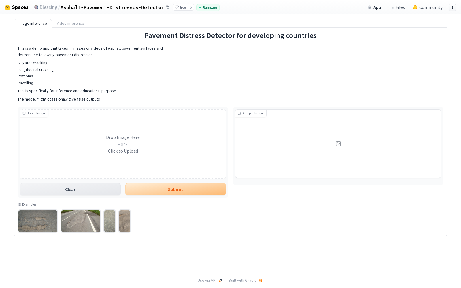
本研究开发了一个针对发展中国家道路状况的计算机视觉模型,并创建了一个公开可用的、精心标注的数据集。该数据集包含了来自加纳的51公里沥青道路的图像,涵盖了多种道路环境和不同的道路网络。数据集的创建过程包括使用仪表盘摄像头、Google Street View和智能手机进行数据收集,确保了数据的多源性和广泛性。该数据集主要用于训练和验证深度学习模型,以实现对路面损坏(如坑洞、裂缝等)的自动检测和分类,旨在提高发展中国家的道路安全和管理效率。
This study developed a computer vision model tailored for road condition assessment in developing countries, and constructed a publicly available, meticulously annotated dataset. This dataset contains images of 51 kilometers of asphalt roads collected from Ghana, covering various road environments and different road networks. The dataset creation process involved data collection using dashboard cameras, Google Street View and smartphones, ensuring the multi-source nature and broad coverage of the data. This dataset is mainly used for training and validating deep learning models to achieve automatic detection and classification of road surface damages such as potholes and cracks, aiming to improve road safety and management efficiency in developing countries.
- 1Advancing Pavement Distress Detection in Developing Countries: A Novel Deep Learning Approach with Locally-Collected Datasets北达科他州立大学土木、建筑和环境工程系 · 2024年


