青藏高原农牧区人类活动强度1km网格数据集(1990-2015)
收藏国家青藏高原科学数据中心2023-01-11 更新2024-03-01 收录
下载链接:
https://data.tpdc.ac.cn/zh-hans/data/c6d5c6f2-e80a-4e6f-bf79-2986c64e8266
下载链接
链接失效反馈官方服务:
资源简介:
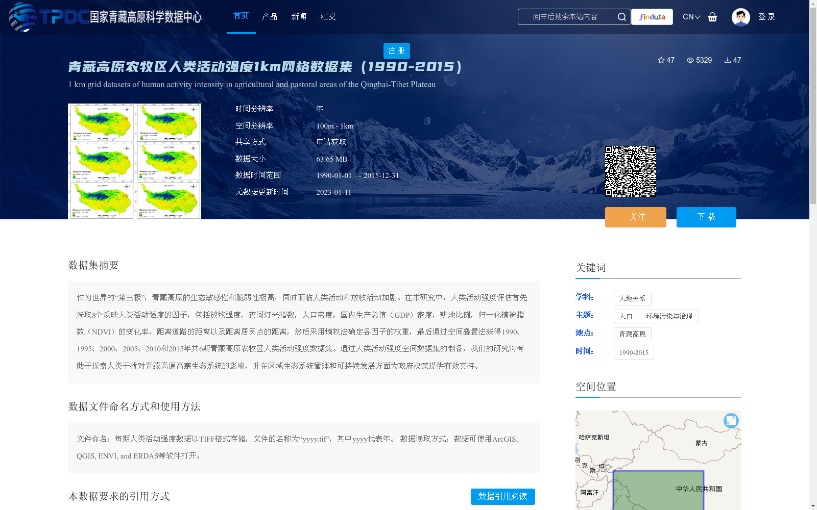
作为世界的“第三极”,青藏高原的生态敏感性和脆弱性极高,同时面临人类活动和放牧活动加剧。在本研究中,人类活动强度评估首先选取8个反映人类活动强度的因子,包括放牧强度,夜间灯光指数,人口密度,国内生产总值(GDP)密度,耕地比例,归一化植被指数(NDVI)的变化率,距离道路的距离以及距离居民点的距离,然后采用熵权法确定各因子的权重,最后通过空间叠置法获得1990、1995、2000、2005、2010和2015年共6期青藏高原农牧区人类活动强度数据集。通过人类活动强度空间数据集的制备,我们的研究将有助于探索人类干扰对青藏高原高寒生态系统的影响,并在区域生态系统管理和可持续发展方面为政府决策提供有效支持。
As the "Third Pole" of the world, the Qinghai-Tibet Plateau features extremely high ecological sensitivity and vulnerability, while facing intensifying human and grazing activities. In this study, eight factors reflecting human activity intensity were selected for the assessment, including grazing intensity, nighttime light index, population density, gross domestic product (GDP) density, cultivated land proportion, change rate of Normalized Difference Vegetation Index (NDVI), distance to roads, and distance to residential areas. The entropy weight method was then adopted to determine the weights of each factor, and finally, the human activity intensity dataset of the farming-pastoral regions of the Qinghai-Tibet Plateau for six periods (1990, 1995, 2000, 2005, 2010 and 2015) was obtained via spatial overlay analysis. By developing this spatial dataset of human activity intensity, this study will help explore the impacts of human disturbances on the alpine ecosystems of the Qinghai-Tibet Plateau, and provide effective support for government decision-making in regional ecosystem management and sustainable development.
提供机构:
刘世梁,孙永秀,刘轶轩,李明琦
创建时间:
2021-01-12
搜集汇总
数据集介绍
背景与挑战
背景概述
该数据集提供了1990-2015年青藏高原农牧区人类活动强度的1km网格数据,通过8个关键因子综合评估人类活动影响,支持生态系统管理和政策决策。数据以TIFF格式存储,适用于多种地理信息系统软件。
以上内容由遇见数据集搜集并总结生成


