九寨沟日则泥石流沟DEM数据(2019-2021)
收藏国家青藏高原科学数据中心2022-02-15 更新2024-03-06 收录
下载链接:
https://data.tpdc.ac.cn/zh-hans/data/a67178fe-c3b0-4f76-b47a-fbe5e6282321
下载链接
链接失效反馈官方服务:
资源简介:
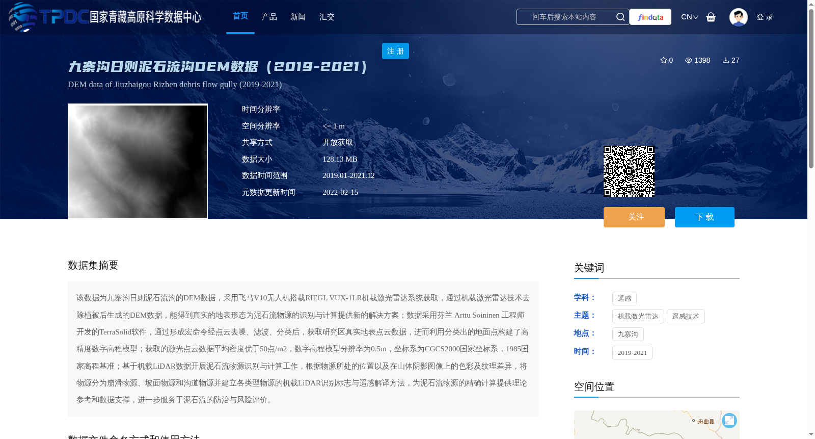
该数据为九寨沟日则泥石流沟的DEM数据,采用飞马V10无人机搭载RIEGL VUX-1LR机载激光雷达系统获取,通过机载激光雷达技术去除植被后生成的DEM数据,能得到真实的地表形态为泥石流物源的识别与计算提供新的解决方案;数据采用芬兰 Arttu Soininen 工程师开发的TerraSolid软件,通过形成宏命令经点云去噪、滤波、分类后,获取研究区真实地表点云数据,进而利用分类出的地面点构建了高精度数字高程模型;获取的激光点云数据平均密度优于50点/m2,数字高程模型分辨率为0.5m,坐标系为CGCS2000国家坐标系,1985国家高程基准;基于机载LiDAR数据开展泥石流物源识别与计算工作,根据物源所处的位置以及在山体阴影图像上的色彩及纹理差异,将物源分为崩滑物源、坡面物源和沟道物源并建立各类型物源的机载LiDAR识别标志与遥感解译方法,为泥石流物源的精确计算提供理论参考和数据支撑,进一步服务于泥石流的防治与风险评价。
This dataset is the Digital Elevation Model (DEM) data of the Rizhe Debris Flow Gully in Jiuzhaigou. It was collected using the RIEGL VUX-1LR airborne LiDAR system mounted on a Feima V10 unmanned aerial vehicle (UAV). Generated by removing vegetation cover via airborne LiDAR technology, this DEM reveals the real surface topography, providing a novel solution for the identification and quantification of debris flow source materials. The data was processed using TerraSolid software developed by Finnish engineer Arttu Soininen. Specifically, macro commands were utilized to denoise, filter and classify the point cloud, thereby obtaining the real surface point cloud data of the study area. A high-precision DEM was then constructed using the classified ground points. The acquired LiDAR point cloud data has an average point density exceeding 50 points per square meter. The DEM has a spatial resolution of 0.5 m, and adopts the CGCS2000 national geodetic coordinate system and the 1985 National Elevation Datum. Based on the airborne LiDAR data, this work conducts identification and quantification of debris flow source materials. According to the location of the source materials and their differences in color and texture on mountain shadow images, the source materials are categorized into three types: collapse-slide source materials, slope source materials and gully source materials. Meanwhile, airborne LiDAR identification criteria and remote sensing interpretation methods for each type of source materials are established, providing theoretical references and data support for the accurate quantification of debris flow source materials, and further serving debris flow prevention, control and risk assessment.
提供机构:
董秀军
创建时间:
2022-02-15
搜集汇总
数据集介绍
背景与挑战
背景概述
该数据集为2019-2021年九寨沟日则泥石流沟的高精度DEM数据,采用无人机搭载激光雷达系统获取,分辨率为0.5米,主要用于泥石流物源识别与计算,为泥石流防治与风险评价提供数据支撑。
以上内容由遇见数据集搜集并总结生成


