青藏高原Landsat系列卫星地表温度产品(1980s-2019)
收藏国家青藏高原科学数据中心2021-09-06 更新2024-03-06 收录
下载链接:
https://data.tpdc.ac.cn/zh-hans/data/a5f0bc7e-ef7d-4188-a457-8d355d95a61e
下载链接
链接失效反馈官方服务:
资源简介:
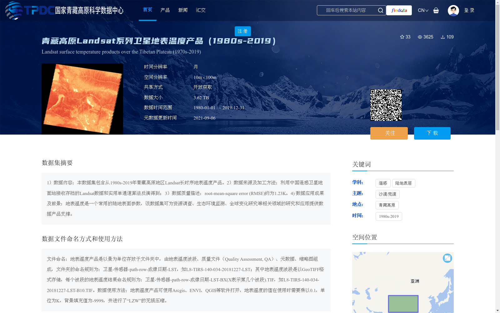
1)数据内容:本数据集包含从1980s-2019年青藏高原地区Landsat长时序地表温度产品。2)数据来源及加工方法:利用中国遥感卫星地面站接收存档的Landsat数据和实用单通道算法反演得到;3)数据质量描述:root-mean-square error (RMSE)约为1.23K。4) 数据应用成果及前景:地表温度是一个常用的陆地表面参数,该数据集可为资源调查、生态环境监测、全球变化研究等相关领域的研究和应用提供数据产品支撑。
1) Data Content: This dataset includes long-time-series Landsat land surface temperature products over the Qinghai-Tibet Plateau from the 1980s to 2019. 2) Data Source and Processing Method: The data was retrieved using archived Landsat data received by the China Remote Sensing Satellite Ground Station, combined with the practical single-channel algorithm. 3) Data Quality Description: The root-mean-square error (RMSE) is approximately 1.23 K. 4) Data Application Achievements and Prospects: Land surface temperature is a widely used terrestrial surface parameter. This dataset can provide data product support for research and applications in fields such as resource survey, ecological environment monitoring, and global change research.
提供机构:
张兆明
创建时间:
2021-04-26
搜集汇总
数据集介绍
背景与挑战
背景概述
该数据集包含1980s至2019年青藏高原地区的Landsat长时序地表温度产品,空间分辨率为10m至100m,数据质量RMSE约为1.23K。该数据集可为资源调查、生态环境监测、全球变化研究等领域提供数据支持。
以上内容由遇见数据集搜集并总结生成


