青藏高原地表冻融状态数据集(2011-2020)
收藏国家青藏高原科学数据中心2025-05-13 更新2025-06-07 收录
下载链接:
https://data.tpdc.ac.cn/zh-hans/data/f52826e1-c61c-4b79-a43c-4ece3a8eca18
下载链接
链接失效反馈官方服务:
资源简介:
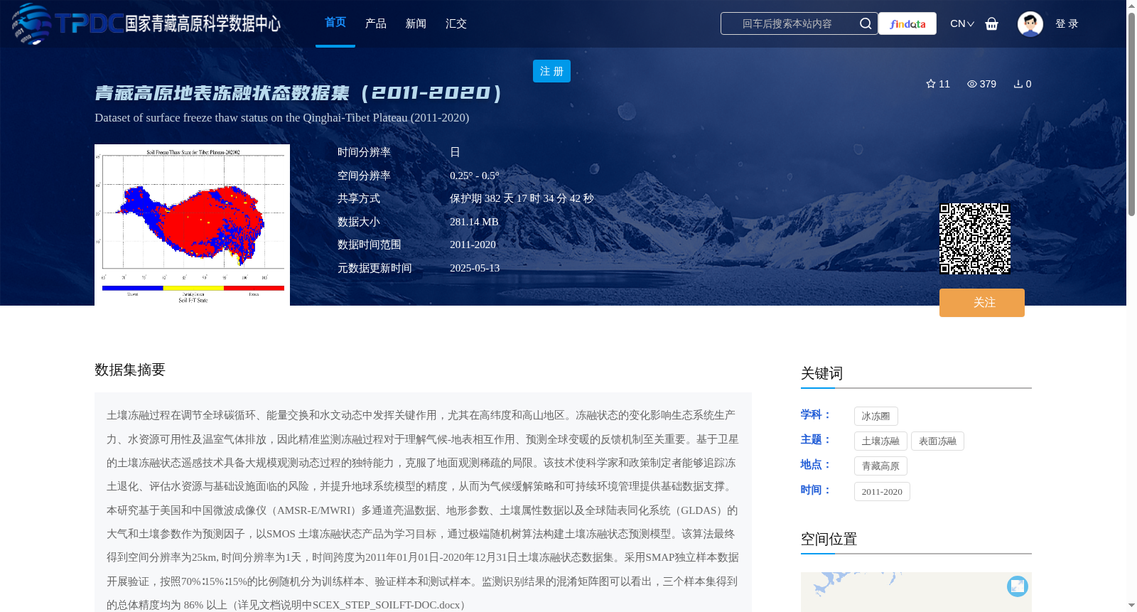
土壤冻融过程在调节全球碳循环、能量交换和水文动态中发挥关键作用,尤其在高纬度和高山地区。冻融状态的变化影响生态系统生产力、水资源可用性及温室气体排放,因此精准监测冻融过程对于理解气候-地表相互作用、预测全球变暖的反馈机制至关重要。基于卫星的土壤冻融状态遥感技术具备大规模观测动态过程的独特能力,克服了地面观测稀疏的局限。该技术使科学家和政策制定者能够追踪冻土退化、评估水资源与基础设施面临的风险,并提升地球系统模型的精度,从而为气候缓解策略和可持续环境管理提供基础数据支撑。本研究基于美国和中国微波成像仪(AMSR-E/MWRI)多通道亮温数据、地形参数、土壤属性数据以及全球陆表同化系统(GLDAS)的大气和土壤参数作为预测因子,以SMOS 土壤冻融状态产品为学习目标,通过极端随机树算法构建土壤冻融状态预测模型。该算法最终得到空间分辨率为25km, 时间分辨率为1天,时间跨度为2011年01月01日-2020年12月31日土壤冻融状态数据集。采用SMAP独立样本数据开展验证,按照70%∶15%∶15%的比例随机分为训练样本、验证样本和测试样本。监测识别结果的混淆矩阵图可以看出,三个样本集得到的总体精度均为 86% 以上(详见文档说明中SCEX_STEP_SOILFT-DOC.docx)
Soil freeze-thaw processes play a critical role in regulating global carbon cycles, energy exchanges and hydrological dynamics, especially in high-latitude and alpine regions. Changes in freeze-thaw status affect ecosystem productivity, water resource availability and greenhouse gas emissions; therefore, accurate monitoring of freeze-thaw processes is essential for understanding climate-surface interactions and predicting feedback mechanisms of global warming. Satellite-based remote sensing of soil freeze-thaw status possesses the unique capability of large-scale observation of dynamic processes, overcoming the limitations of sparse ground observations. This technology enables scientists and policymakers to track permafrost degradation, assess risks to water resources and infrastructure, and improve the accuracy of Earth System Models, thereby providing fundamental data support for climate mitigation strategies and sustainable environmental management. This study developed a soil freeze-thaw status prediction model using the Extremely Randomized Trees algorithm, with multi-channel brightness temperature data from the American and Chinese microwave imagers (AMSR-E/MWRI), topographic parameters, soil property data, and atmospheric and soil parameters from the Global Land Data Assimilation System (GLDAS) as predictors, and taking the SMOS soil freeze-thaw status product as the learning target. The final dataset has a spatial resolution of 25 km, a temporal resolution of 1 day, and covers the period from January 1, 2011 to December 31, 2020. Independent SMAP sample data were used for validation, and the samples were randomly divided into training, validation and test sets at a ratio of 70%:15%:15%. As can be seen from the confusion matrix of the monitoring and identification results, the overall accuracy of the three sample sets exceeds 86% (see SCEX_STEP_SOILFT-DOC.docx in the document description for details).
提供机构:
胡皓
创建时间:
2025-03-24
搜集汇总
数据集介绍
背景与挑战
背景概述
该数据集提供了2011-2020年青藏高原地表冻融状态的日值数据,空间分辨率为0.25° - 0.5°,基于多源遥感数据和机器学习算法构建,总体精度达86%以上,适用于研究土壤冻融过程对气候和生态系统的影响。
以上内容由遇见数据集搜集并总结生成


