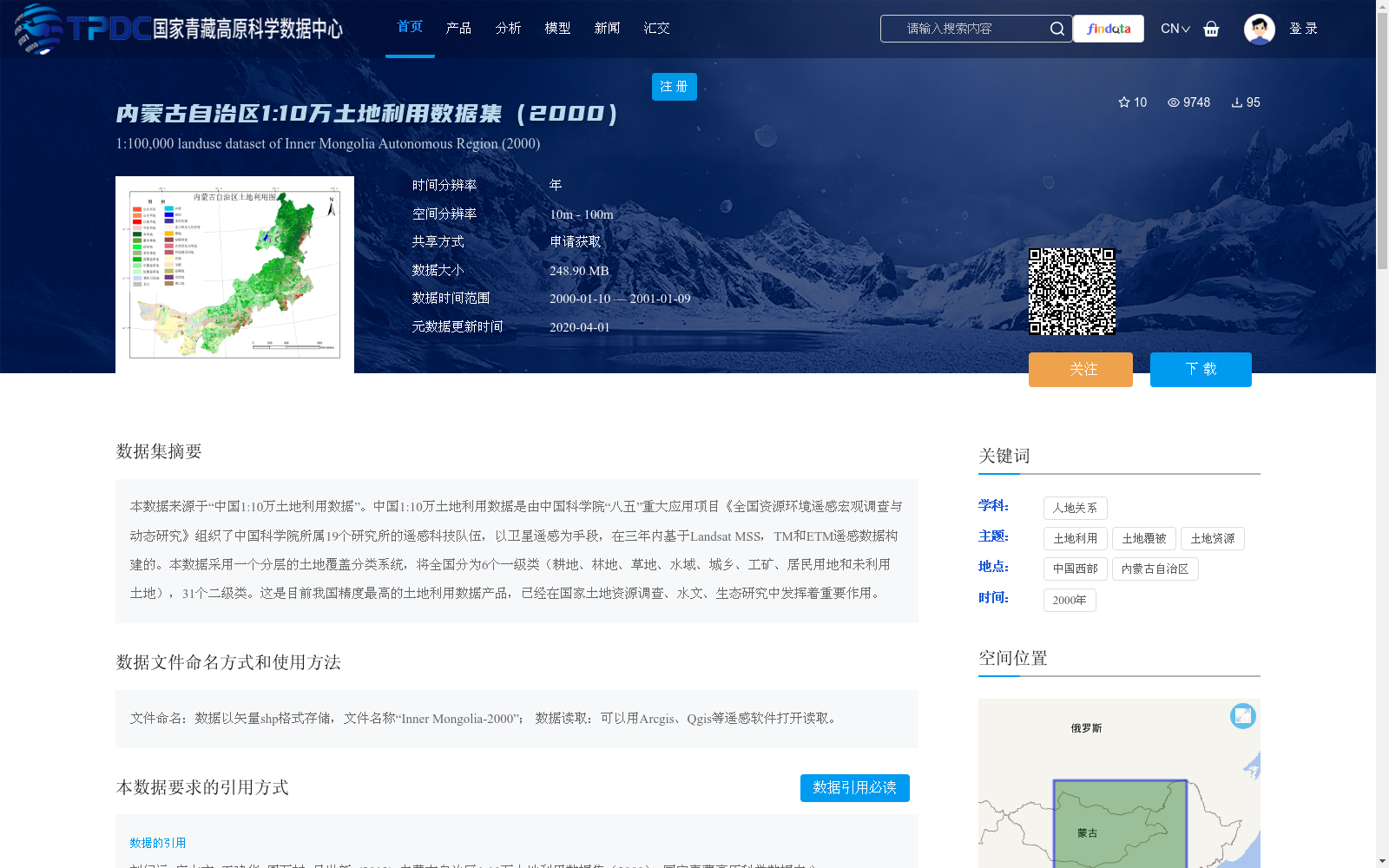
内蒙古自治区1:10万土地利用数据集(2000)
收藏资源简介:
本数据来源于“中国1:10万土地利用数据”。中国1:10万土地利用数据是由中国科学院“八五”重大应用项目《全国资源环境遥感宏观调查与动态研究》组织了中国科学院所属19个研究所的遥感科技队伍,以卫星遥感为手段,在三年内基于Landsat MSS,TM和ETM遥感数据构建的。本数据采用一个分层的土地覆盖分类系统,将全国分为6个一级类(耕地、林地、草地、水域、城乡、工矿、居民用地和未利用土地),31个二级类。这是目前我国精度最高的土地利用数据产品,已经在国家土地资源调查、水文、生态研究中发挥着重要作用。
This dataset is derived from the 'China 1:100,000 Scale Land Use Data'. The 'China 1:100,000 Scale Land Use Data' was constructed over three years by organizing remote sensing scientific and technological teams from 19 research institutes affiliated with the Chinese Academy of Sciences, under the key application project of the Eighth Five-Year Plan of the Chinese Academy of Sciences titled 'National Remote Sensing Macro Investigation and Dynamic Research on Resources and Environment', using satellite remote sensing technology and based on Landsat MSS, TM, and ETM remote sensing data. This dataset adopts a hierarchical land cover classification system, dividing the entire country into 6 first-level categories (cultivated land, forest land, grassland, water area, urban-rural, industrial and mining, residential land, and unused land) and 31 second-level categories. This is currently the land use data product with the highest accuracy in China, and has played an important role in national land resource surveys, hydrological and ecological research.