鄂尔多斯盆地水文要素历史演变数据(1980-2020)
收藏国家青藏高原科学数据中心2026-04-26 更新2025-11-08 收录
下载链接:
https://data.tpdc.ac.cn/zh-hans/data/cc36f175-c47f-4ae0-81bc-312fe83b28c7
下载链接
链接失效反馈官方服务:
资源简介:
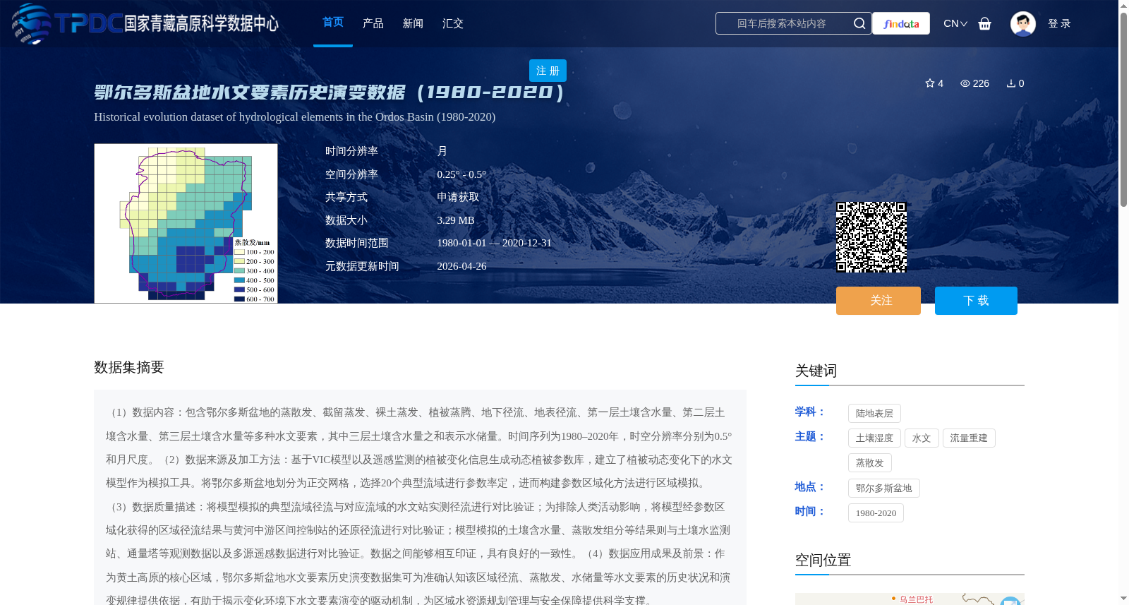
(1)数据内容:包含鄂尔多斯盆地的蒸散发、截留蒸发、裸土蒸发、植被蒸腾、地下径流、地表径流、第一层土壤含水量、第二层土壤含水量、第三层土壤含水量等多种水文要素,其中三层土壤含水量之和表示水储量。时间序列为1980–2020年,时空分辨率分别为0.5°和月尺度。(2)数据来源及加工方法:基于VIC模型以及遥感监测的植被变化信息生成动态植被参数库,建立了植被动态变化下的水文模型作为模拟工具。将鄂尔多斯盆地划分为正交网格,选择20个典型流域进行参数率定,进而构建参数区域化方法进行区域模拟。(3)数据质量描述:将模型模拟的典型流域径流与对应流域的水文站实测径流进行对比验证;为排除人类活动影响,将模型经参数区域化获得的区域径流结果与黄河中游区间控制站的还原径流进行对比验证;模型模拟的土壤含水量、蒸散发组分等结果则与土壤水监测站、通量塔等观测数据以及多源遥感数据进行对比验证。数据之间能够相互印证,具有良好的一致性。(4)数据应用成果及前景:作为黄土高原的核心区域,鄂尔多斯盆地水文要素历史演变数据集可为准确认知该区域径流、蒸散发、水储量等水文要素的历史状况和演变规律提供依据,有助于揭示变化环境下水文要素演变的驱动机制,为区域水资源规划管理与安全保障提供科学支撑。
1. Data Content: This dataset includes multiple hydrological elements in the Ordos Basin, such as evapotranspiration, interception evaporation, bare soil evaporation, vegetation transpiration, subsurface runoff, surface runoff, soil moisture contents in the first, second and third soil layers, etc. The sum of the three-layer soil moisture contents represents water storage. The time series spans from 1980 to 2020, with spatiotemporal resolutions of 0.5-degree geographic grid and monthly scale respectively.
2. Data Source and Processing Method: The dynamic vegetation parameter database is generated based on the VIC model and remotely sensed vegetation change information, and a hydrological model accounting for dynamic vegetation changes is established as the simulation tool. The Ordos Basin is divided into orthogonal grids, 20 typical watersheds are selected for parameter calibration, and then a parameter regionalization method is constructed for regional simulation.
3. Data Quality Description: The modeled runoff of typical watersheds is verified by comparing with in-situ runoff measurements from hydrological stations in corresponding watersheds. To exclude the impact of human activities, the regional runoff results obtained via parameter regionalization are verified by comparing with naturalized runoff from control stations in the middle reaches of the Yellow River. The modeled soil moisture contents, evapotranspiration components and other results are verified by comparing with observational data from soil moisture monitoring stations, flux towers, as well as multi-source remote sensing data. The dataset elements can be mutually verified and show good consistency.
4. Data Application Achievements and Prospects: As the core area of the Loess Plateau, the historical evolution dataset of hydrological elements in the Ordos Basin can provide a basis for accurately understanding the historical status and evolutionary laws of hydrological elements such as runoff, evapotranspiration and water storage in this region. It helps to reveal the driving mechanisms of hydrological element evolution under a changing environment, and provides scientific support for regional water resources planning, management and security assurance.
提供机构:
鲍振鑫,王婕
创建时间:
2025-10-09
搜集汇总
数据集介绍
背景与挑战
背景概述
该数据集提供了鄂尔多斯盆地1980-2020年多种水文要素(如蒸散发、径流、土壤含水量)的历史演变数据,时间分辨率为月,空间分辨率为0.25° - 0.5°。数据基于VIC模型和动态植被参数构建,并通过与实测站、遥感数据对比验证确保质量,旨在支持区域水文演变规律研究和水资源管理。
以上内容由遇见数据集搜集并总结生成


