
SenseCity Africa 100 (SCA100)
收藏资源简介:
SenseCity Africa 100 (SCA100)是由洛桑联邦理工学院和穆罕默德六世理工大学创建的一个众包数据集,包含100张来自非洲大陆的带有地理标记的图像。该数据集旨在通过通信技术和互联网接入的普及来探索非洲城市面临的挑战。为了确保非洲大陆五大区域的全面代表性,采用了按比例抽样的方法。SCA100数据集主要用于评估图像地理定位模型的性能,特别是在非洲这样的数据稀缺地区。该数据集的应用领域包括旅游、导航系统、新闻视觉调查等多个重要领域,旨在解决现有数据集中存在的地区偏见问题,促进人工智能技术的公平性和包容性。
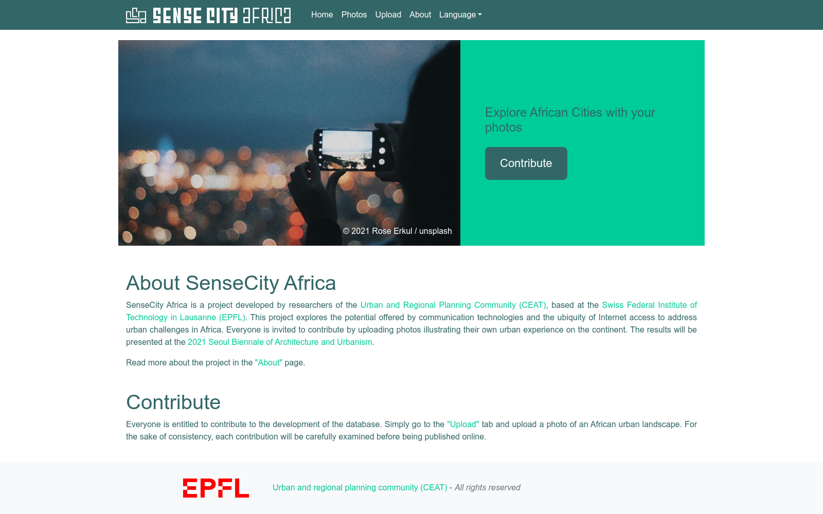
SenseCity Africa 100 (SCA100) is a crowdsourced dataset developed by École Polytechnique Fédérale de Lausanne (EPFL) and Université Mohammed VI Polytechnique. It contains 100 geotagged images sourced from across the African continent. This dataset aims to explore the challenges confronting African cities amid the widespread adoption of communication technologies and internet access. To ensure comprehensive representation of the five major regions of the African continent, proportional sampling was employed in its construction. The SCA100 dataset is primarily utilized to evaluate the performance of image geolocation models, especially in data-scarce regions such as Africa. Its applicable domains cover multiple critical fields including tourism, navigation systems, visual journalism investigations, and more. This dataset is intended to mitigate regional biases existing in current datasets and advance fairness and inclusivity in artificial intelligence technologies.
- 1Regional biases in image geolocation estimation: a case study with the SenseCity Africa dataset洛桑联邦理工学院(EPFL)和穆罕默德六世理工大学 · 2024年


