1980-2024年中国草地放牧强度数据集
收藏国家生态科学数据中心2024-11-16 收录
下载链接:
http://www.nesdc.org.cn/sdo/detail?id=672aea607e28174998e63234
下载链接
链接失效反馈官方服务:
资源简介:
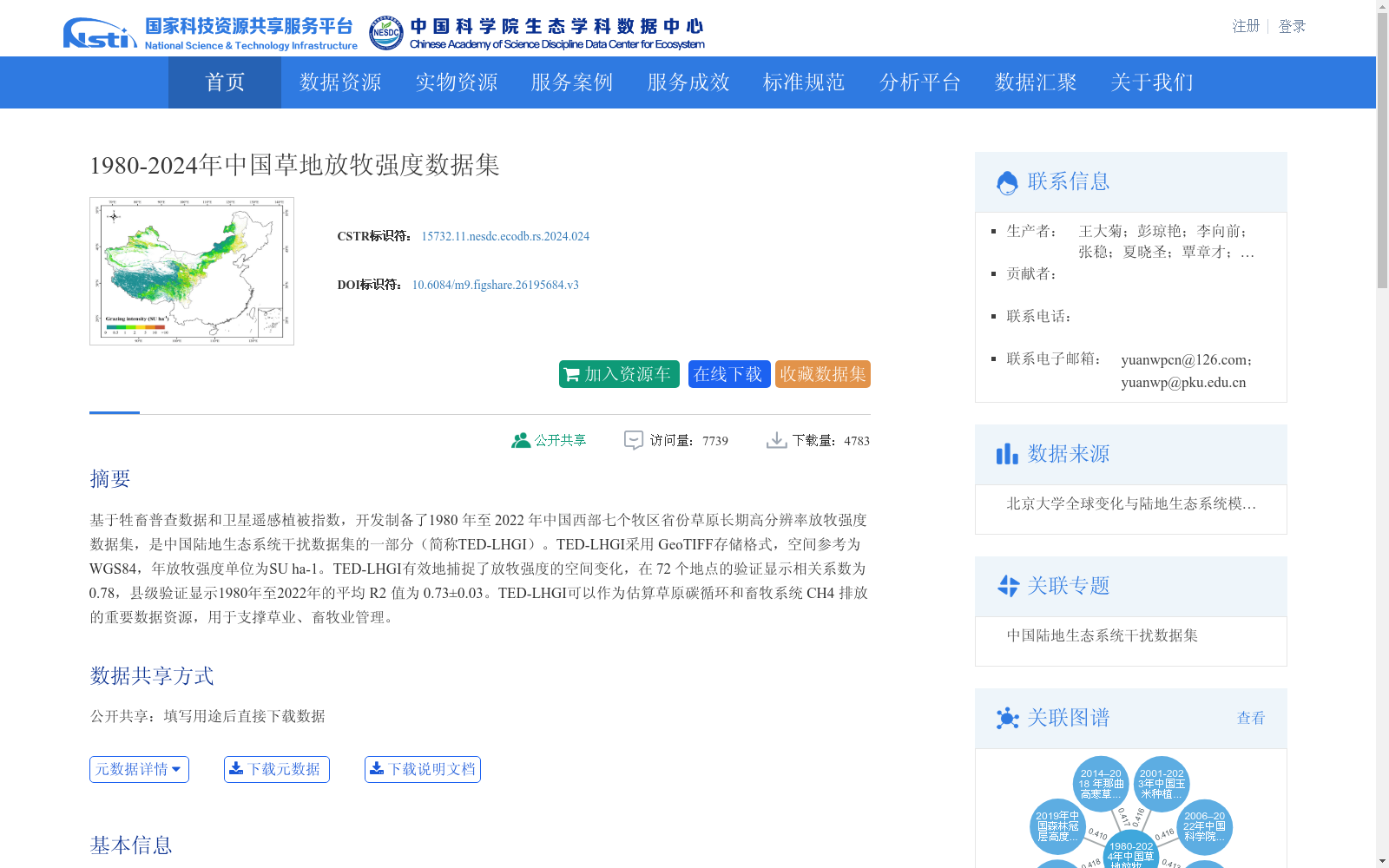
基于牲畜普查数据和卫星遥感植被指数,开发制备了1980 年至 2022 年中国西部七个牧区省份草原长期高分辨率放牧强度数据集,是中国陆地生态系统干扰数据集的一部分(简称TED-LHGI)。TED-LHGI采用 GeoTIFF存储格式,空间参考为WGS84,年放牧强度单位为SU ha-1。TED-LHGI有效地捕捉了放牧强度的空间变化,在 72 个地点的验证显示相关系数为0.78,县级验证显示1980年至2022年的平均 R2 值为 0.73±0.03。TED-LHGI可以作为估算草原碳循环和畜牧系统 CH4 排放的重要数据资源,用于支撑草业、畜牧业管理。
Based on livestock census data and satellite remote sensing vegetation indices, a long-term high-resolution grazing intensity dataset of grasslands in seven pastoral provinces of western China from 1980 to 2022 was developed. This dataset is part of the China Terrestrial Ecosystem Disturbance Dataset (abbreviated as TED-LHGI). TED-LHGI is stored in GeoTIFF format, with a spatial reference of WGS84, and the unit of annual grazing intensity is SU ha⁻¹. TED-LHGI effectively captures the spatial variations in grazing intensity. Validation at 72 sites yielded a correlation coefficient of 0.78, while county-level validation showed an average R² value of 0.73±0.03 over the period 1980–2022. TED-LHGI can serve as an important data resource for estimating grassland carbon cycles and methane emissions from livestock systems, supporting grass industry and livestock management.
提供机构:
团队
创建时间:
2024-09-05
搜集汇总
数据集介绍
背景与挑战
背景概述
该数据集是基于牲畜普查数据和卫星遥感植被指数开发的1980年至2024年中国草地放牧强度长期高分辨率数据集,覆盖中国西部七个牧区省份,采用GeoTIFF格式存储。数据集有效捕捉了放牧强度的空间变化,验证显示相关系数为0.78,可用于估算草原碳循环和畜牧系统甲烷排放,支撑草业和畜牧业管理。
以上内容由遇见数据集搜集并总结生成


