
AIR
收藏资源简介:
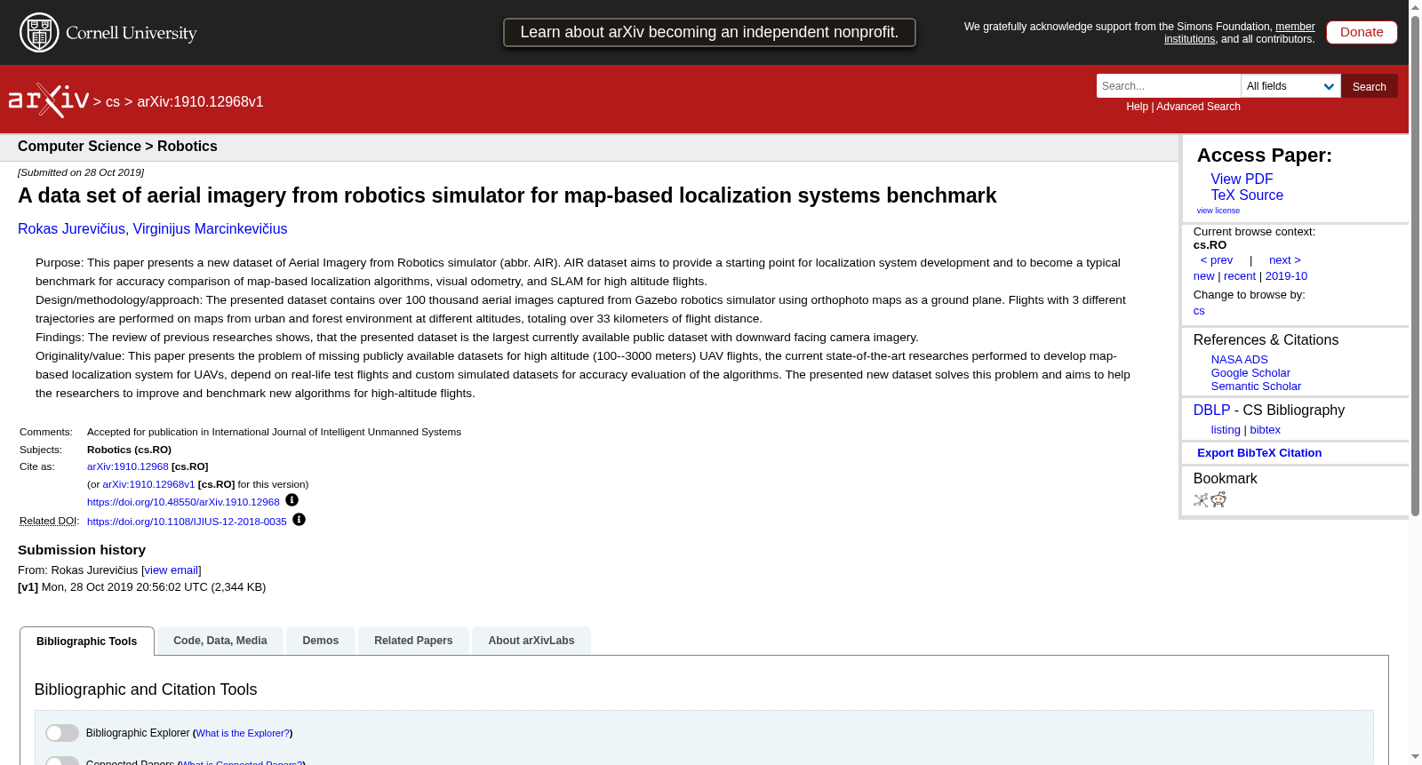
AIR数据集是由立陶宛维尔纽斯大学数据科学与数字技术研究所创建的,旨在为基于地图的定位系统提供一个基准测试平台。该数据集包含超过100,000张从Gazebo机器人模拟器捕获的航空图像,覆盖城市和森林环境,总飞行距离超过33公里。数据集的创建涉及使用正射地图作为地面平面,并在不同海拔高度执行三种不同的飞行轨迹。AIR数据集不仅适用于基于地图的系统,还可用于无地图和地图构建系统,如视觉测距、光学流和SLAM系统,以评估高海拔(100-3000米)无人机定位的准确性。
The AIR dataset was created by the Institute of Data Science and Digital Technologies, Vilnius University, Lithuania, with the goal of serving as a benchmark platform for map-based localization systems. This dataset includes over 100,000 aerial images captured via the Gazebo robot simulator, covering both urban and forest environments, and has a total flight distance exceeding 33 kilometers. The construction of the AIR dataset utilized orthophotos as the ground plane, and executed three distinct flight trajectories at varying altitudes. Beyond map-based systems, the AIR dataset is applicable to map-free and mapping systems such as visual odometry, optical flow, and SLAM systems, for assessing the localization accuracy of unmanned aerial vehicles (UAVs) at high altitudes ranging from 100 to 3000 meters.
- 1A data set of aerial imagery from robotics simulator for map-based localization systems benchmark数据科学与数字技术研究所 · 2019年


