
A Global Multimodal Flood Event Dataset
收藏DataCite Commons2025-04-27 更新2024-07-13 收录
下载链接:
https://www.scidb.cn/detail?dataSetId=393a9d30bb5e4f2b805c4745d5218e80
下载链接
链接失效反馈官方服务:
资源简介:
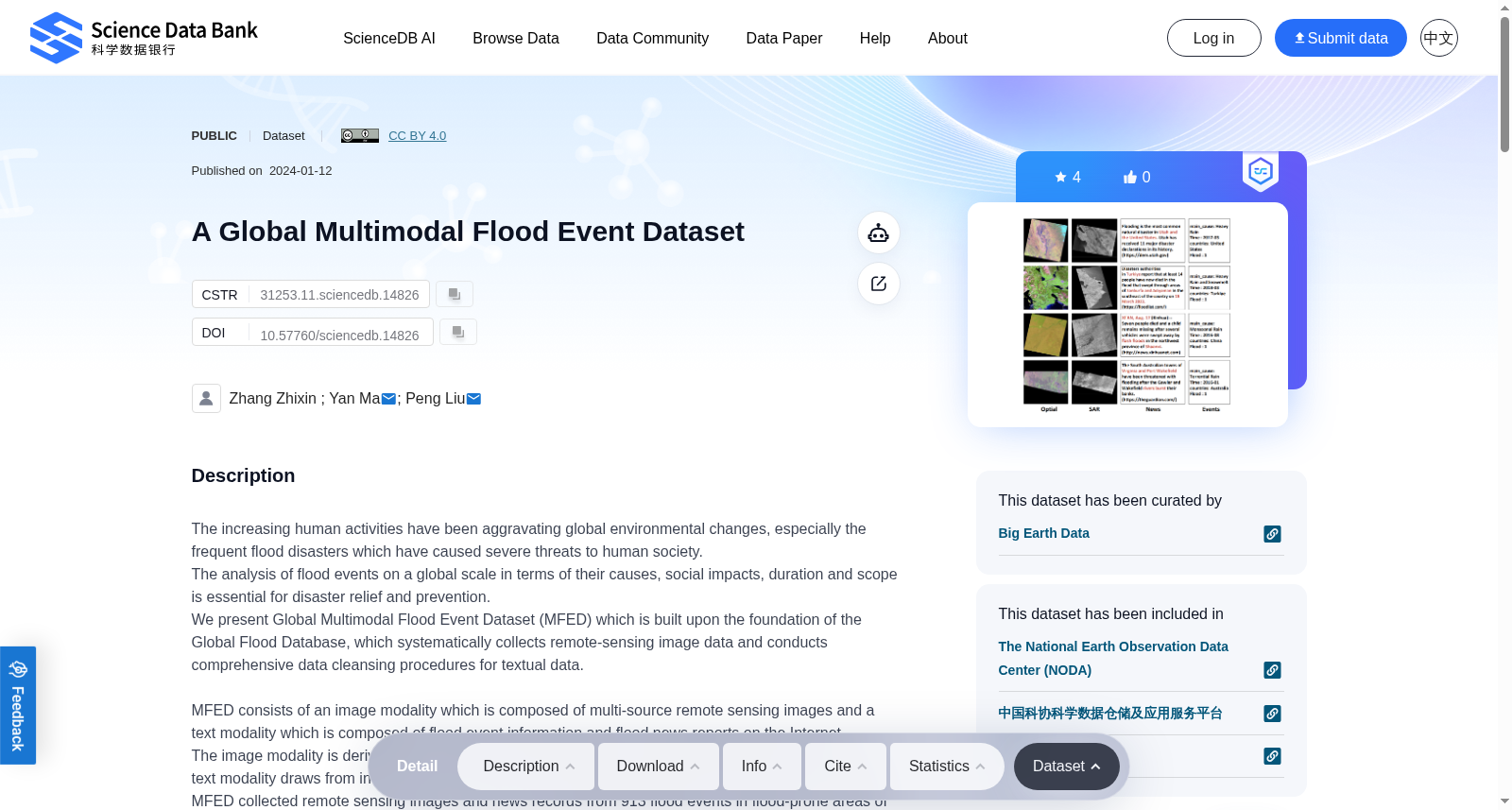
The increasing human activities have been aggravating global environmental changes, especially the frequent flood disasters which have caused severe threats to human society. The analysis of flood events on a global scale in terms of their causes, social impacts, duration and scope is essential for disaster relief and prevention.We present Global Multimodal Flood Event Dataset (MFED) which is built upon the foundation of the Global Flood Database, which systematically collects remote-sensing image data and conducts comprehensive data cleansing procedures for textual data. MFED consists of an image modality which is composed of multi-source remote sensing images and a text modality which is composed of flood event information and flood news reports on the Internet. The image modality is derived from various remote sensing sources, capturing flooded areas, while the text modality draws from information records within the global flood database and authentic news reports.MFED collected remote sensing images and news records from 913 flood events in flood-prone areas of the world between 2000 and 2018, covering 29 countries. It contains 1138 scenes of optical images covering flood areas, 281 scenes of radar images, 9000 pieces of news data related to flood events, and 913 pieces of flood event record information.MFED consists of two parts: image and text. The image file is in geotiff format and stored in 'MFED/MFED_data' folder and packaged in MFED.zip file.The statistics in the Global Flood Database are named floodinfo.csv and contain a summary of the collected event data, including the central latitude and longitude coordinates of the flood event, the duration of the flood, the major country in which it flowed, the main cause of the flood, the path of the product file, and the latitude and longitude range of the remote sensing image collected based on the event information.The news report records crawled from Google are numbered by country-event and stored in csv format. Each file contains three parts: title, content and time. All news record files are packaged in the 'Text.zip'.Finally, we provide the 'MFED.jsonl' file, which records the correspondence between the optical image and the SAR image in jsonl format, and the matching text information for each pair.
日益频繁的人类活动加剧了全球环境变化,其中频发的洪涝灾害更是对人类社会构成了严重威胁。从成因、社会影响、持续时长与影响范围等维度对全球洪涝事件展开分析,对于灾害救援与防灾减灾工作至关重要。我们构建了全球多模态洪涝事件数据集(Global Multimodal Flood Event Dataset, MFED),该数据集以全球洪涝数据库(Global Flood Database)为基础构建而成——全球洪涝数据库系统性收集遥感影像数据,并对文本数据开展了全面的数据清洗流程。MFED包含两种模态数据:影像模态与文本模态。其中影像模态源自各类遥感数据源,用于捕捉洪涝区域;文本模态则取材于全球洪涝数据库中的事件记录与权威新闻报道。MFED收集了2000年至2018年间全球29个洪涝高发国家的913起洪涝事件相关数据,包含1138景洪涝区域光学影像、281景雷达影像、9000条洪涝事件相关新闻数据,以及913条洪涝事件记录信息。MFED分为影像与文本两大模块。影像文件采用GeoTIFF格式,存储于"MFED/MFED_data"文件夹中,并打包为MFED.zip压缩包。全球洪涝数据库的统计信息文件名为floodinfo.csv,其中包含所收集洪涝事件的汇总数据,包括洪涝事件的中心经纬度坐标、洪涝持续时长、受影响主要国家、洪涝主要成因、产品文件路径,以及基于事件信息采集的遥感影像经纬度范围。从谷歌(Google)爬取的新闻报道记录以"国家-事件"为编号规则,以CSV格式存储,每个文件包含标题、内容与发布时间三个部分。所有新闻记录文件均打包于"Text.zip"压缩包中。此外,本数据集还提供了"MFED.jsonl"文件,该文件以JSON Lines格式记录了光学影像与合成孔径雷达(Synthetic Aperture Radar, SAR)影像的对应关系,以及每对影像所匹配的文本信息。
提供机构:
Science Data Bank
创建时间:
2024-01-12
搜集汇总
数据集介绍
背景与挑战
背景概述
该数据集是一个全球多模态洪水事件数据集(MFED),包含图像和文本两种模态,覆盖2000年至2018年间全球29个洪水易发地区的913次洪水事件。数据集提供了丰富的遥感图像和新闻报道数据,支持洪水灾害的全球规模分析和研究。
以上内容由遇见数据集搜集并总结生成



