安徽淮北市相山区全景VR影像平台数据
收藏上海数据交易所2024-07-19 更新2026-03-21 收录
下载链接:
https://nidts.chinadep.com/reg-hall/product-detail?id=3411
下载链接
链接失效反馈官方服务:
资源简介:
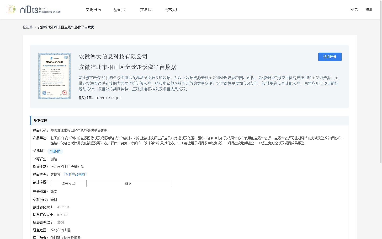
基于航拍采集的标的全景图像以及现场测绘采集的数据,对以上数据资源进行全景VR处理以及范围、面积、名称等标注形成可供客户使用的全景VR资源。全景VR资源可通过链接的方式发送给订阅客户,链接中仅包含授权开放的数据资源;客户群体主要为市政部门、设计单位以及其他客户,主要应用于项目前期规划设计、项目建设期间监控、工程进度把控以及项目成果报送。
This dataset is developed based on panoramic target images collected via aerial photography and on-site surveying and mapping data. These data resources are processed into panoramic VR content and annotated with information such as scope, area and name, forming panoramic VR resources available for customer use. The panoramic VR resources can be sent to subscribed customers via links that only contain authorized and open data resources. The target customer groups mainly include municipal departments, design institutions and other clients, and the resources are primarily applied to pre-project planning and design, on-site monitoring during project construction, engineering progress control and project result submission.
提供机构:
安徽鸿大信息科技有限公司
创建时间:
2024-07-19
搜集汇总
数据集介绍
背景与挑战
背景概述
该数据集包含淮北市相山区的全景VR影像,基于航拍和现场测绘数据,经过VR处理和标注,适用于市政和设计单位的项目规划与监控。数据每日更新,总存储大小为47.7 GB,覆盖淮北市相山区。
以上内容由遇见数据集搜集并总结生成


