1980-2021年中国土地利用覆盖和变化数据集
收藏国家生态科学数据中心2024-03-04 收录
下载链接:
http://www.nesdc.org.cn/sdo/detail?id=6455d00e7e28173b252d9965
下载链接
链接失效反馈官方服务:
资源简介:
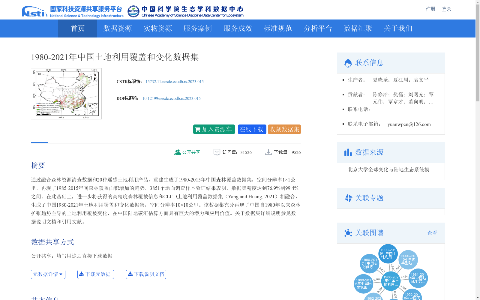
通过融合森林资源清查数据和20种遥感土地利用产品,重建生成了1980-2015年中国森林覆盖数据集,空间分辨率1×1公里,再现了1985-2015年间森林覆盖面积增加的趋势,3851个地面调查样本验证结果表明,数据集精度达到76.9%到99.4%之间。在此基础上,进一步将获得的高精度森林覆被信息和CLCD土地利用覆盖数据集(Yang and Huang, 2021)相融合,生成了中国1980-2021年土地利用覆盖和变化数据集,空间分辨率10×10公里。该数据集充分再现了中国自1980年以来森林扩张趋势主导的土地利用覆被变化,在中国陆地碳汇估算方面具有巨大的潜力和应用价值。关于数据集详细说明参见数据说明文档和引用文献。
A forest cover dataset of China covering 1980–2015 was reconstructed by integrating forest inventory data and 20 remote sensing-based land use products, with a spatial resolution of 1 km × 1 km. This dataset reproduces the trend of increasing forest cover area during 1985–2015. Validated against 3851 ground survey samples, the dataset achieved an accuracy ranging from 76.9% to 99.4%. Based on this, the high-precision forest cover information was further integrated with the CLCD land use/cover dataset (Yang and Huang, 2021) to generate a land use cover and change dataset of China spanning 1980–2021, with a spatial resolution of 10 km × 10 km. This dataset fully captures the land use and cover changes in China since 1980, which are dominated by forest expansion, and has great potential and application value in the estimation of China's terrestrial carbon sink. For detailed descriptions of these datasets, please refer to the data documentation and cited references.
提供机构:
团队
创建时间:
2020-10-27
搜集汇总
数据集介绍
背景与挑战
背景概述
该数据集提供了1980年至2021年中国土地利用覆盖和变化信息,通过融合森林资源清查数据和多种遥感产品生成,空间分辨率为10×10公里。它再现了以森林扩张为主导的土地利用变化趋势,验证精度较高,适用于生态学研究和陆地碳汇估算等应用。
以上内容由遇见数据集搜集并总结生成


